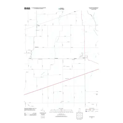
2013 Map of Clayton
USGS Topo · Published 2013About this map
The town of Clayton serves as a primary hub in this portion of Hendricks County, where a grid of rural roads connects established agricultural properties and small settlements. The landscape is defined by the drainage patterns of Mill Cr and its tributaries, including East Fork Mill Cr and Mud Cr. Aviation history is present through local facilities like Marcidale Airport and Cooper Airport, while family legacy is preserved in the naming of several large operations such as Breneman Farms and Gary Alex Farm. Smaller communities like Pecksburg and Amo line the central thoroughfare of Co RD-500, illustrating the persistent small-town character of central Indiana. To the north, the map details the reaches of Springtown and Hadley, providing a clear view of the regional land divisions and residential patterns in the early 21st century.
Find a feature on this map
61 named features on this map. Tap any name to fly to it.
Don’t see what you’re looking for? This feature index may not catch every label — zoom into the map to look around manually.
Map Details
Editions of this 2013 Clayton Map
This is the sole edition of this map. No revisions or reprints were ever made.
Other maps of this area

1953 · Clayton
USGS Topo · 1:24,000

1953 · Danville
USGS Topo · 1:24,000

1953 · Brownsburg
USGS Topo · 1:24,000

1953 · Plainfield
USGS Topo · 1:24,000

1953 · Indianapolis
USGS Topo · 1:250,000

1955 · Hall
USGS Topo · 1:24,000

1955 · Mooresville West
USGS Topo · 1:24,000

1956 · Indianapolis
USGS Topo · 1:250,000

1956 · Eminence
USGS Topo · 1:24,000

1957 · Indianapolis
USGS Topo · 1:250,000