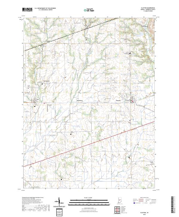
2022 Map of Clayton
USGS Topo · Published 2022About this map
Clayton serves as a central hub in this modern Hendricks County survey, where the historic Old National Rd bisects the landscape. The settlement pattern here reflects deep-rooted community foundations, with numerous small towns like Amo, Pecksburg, and Springtown linked by a dense grid of county roads. Genealogists will find a high concentration of burial sites, including the Hadley Friends Cem, Springtown Methodist Cem, and the uniquely divided Christie East Cem and Christie West Cem near Beck Lake. These landmarks, along with the Bethel Lutheran Cem, preserve the names of the families who established these rural townships. The drainage of the E Fork Mill Cr and Mud Cr continues to define the local topography, while small aviation facilities like Marcidale Airport and Cooper Airport illustrate the continued utility of the open Indiana countryside.
Find a feature on this map
84 named features on this map. Tap any name to fly to it.
Don’t see what you’re looking for? This feature index may not catch every label — zoom into the map to look around manually.
Map Details
Editions of this 2022 Clayton Map
This is the sole edition of this map. No revisions or reprints were ever made.
Other maps of this area

1953 · Clayton
USGS Topo · 1:24,000

1953 · Danville
USGS Topo · 1:24,000

1953 · Brownsburg
USGS Topo · 1:24,000

1953 · Plainfield
USGS Topo · 1:24,000

1953 · Indianapolis
USGS Topo · 1:250,000

1955 · Hall
USGS Topo · 1:24,000

1955 · Mooresville West
USGS Topo · 1:24,000

1956 · Indianapolis
USGS Topo · 1:250,000

1956 · Eminence
USGS Topo · 1:24,000

1957 · Indianapolis
USGS Topo · 1:250,000