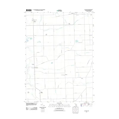
2011 Map of Clayton
USGS Topo · Published 2011About this map
The South Branch River Raisin meanders through this agricultural landscape in Lenawee County, serving as a primary drainage corridor alongside Bear Creek and Stony Creek. Small rural centers such as Clayton, Seneca, and Canandaigua are joined by a grid of farm roads and regional thoroughfares like Seneca Hwy and Elliott Hwy. These settlements maintain their local identities through dedicated facilities like the Seneca Post Office and Clayton Post Office, while the surrounding countryside is marked by numerous family and community burial grounds, including South Dover Cemetery and Porter Cemetery.
Find a feature on this map
72 named features on this map. Tap any name to fly to it.
Don’t see what you’re looking for? This feature index may not catch every label — zoom into the map to look around manually.
Map Details
Editions of this 2011 Clayton Map
This is the sole edition of this map. No revisions or reprints were ever made.
Other maps of this area

1911 · Wauseon
USGS Topo · 1:62,500

1913 · Wauseon
USGS Topo · 1:62,500

1913 · Alvordton
USGS Topo · 1:62,500

1943 · Wauseon
USGS Topo · 1:62,500

1944 · Alvordton
USGS Topo · 1:62,500

1953 · Fort Wayne
USGS Topo · 1:250,000

1956 · Fort Wayne
USGS Topo · 1:250,000

1960 · Morenci
USGS Topo · 1:24,000

1960 · Fayette
USGS Topo · 1:24,000
1960 · Lyons
USGS Topo · 1:24,000