
1960 Map of Morenci
USGS Topo · Published 1961About this map
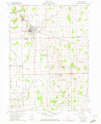
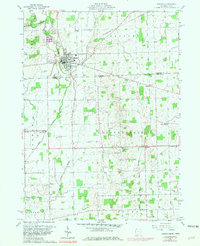
Morenci serves as the focal point of this 1960 survey, situated where the New York Central railroad once cut through the northern edge of the Michigan-Ohio border. The landscape is a mix of agricultural fields and small watercourses like Bean Creek and Silver Creek, which flow toward the state line. Industry and local recreation are represented by the sandpit and gravel pit operations near the town, as well as Riverside Park and a drive-in theater on the outskirts of the settlement.
Find a feature on this map
33 named features on this map. Tap any name to fly to it.
Don’t see what you’re looking for? This feature index may not catch every label — zoom into the map to look around manually.
Map Details
Editions of this 1960 Morenci Map
3 editions found
Other maps of this area

1911 · Wauseon
USGS Topo · 1:62,500

1913 · Wauseon
USGS Topo · 1:62,500

1913 · Alvordton
USGS Topo · 1:62,500

1943 · Wauseon
USGS Topo · 1:62,500

1944 · Alvordton
USGS Topo · 1:62,500

1953 · Fort Wayne
USGS Topo · 1:250,000

1956 · Fort Wayne
USGS Topo · 1:250,000

1959 · Archbold
USGS Topo · 1:24,000
1960 · Wauseon
USGS Topo · 1:24,000

1960 · Fayette
USGS Topo · 1:24,000