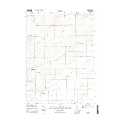
2014 Map of Clayton
USGS Topo · Published 2014About this map
Clayton and Seneca anchor this survey of southern Lenawee County, capturing a landscape defined by a dense network of country roads and local drainage systems. The terrain is characterized by numerous small lakes and basins, such as Lake Hudson and Demings Lake, which feed into the intricate waterways of the S Br River Raisin and Stony Cr. For the genealogist, the map identifies several local burial grounds, including S Dover Cem and Porter Cem, scattered among the rural townships. The layout of the small settlements at Canandaigua and Cadmus reflects the area's agricultural history, with many farmstead locations and rural routes like Morey Hwy and Seneca Hwy providing a detailed view of the regional connectivity near the Ohio border.
Find a feature on this map
65 named features on this map. Tap any name to fly to it.
Don’t see what you’re looking for? This feature index may not catch every label — zoom into the map to look around manually.
Map Details
Editions of this 2014 Clayton Map
This is the sole edition of this map. No revisions or reprints were ever made.
Other maps of this area

1911 · Wauseon
USGS Topo · 1:62,500

1913 · Wauseon
USGS Topo · 1:62,500

1913 · Alvordton
USGS Topo · 1:62,500

1943 · Wauseon
USGS Topo · 1:62,500

1944 · Alvordton
USGS Topo · 1:62,500

1953 · Fort Wayne
USGS Topo · 1:250,000

1956 · Fort Wayne
USGS Topo · 1:250,000

1960 · Morenci
USGS Topo · 1:24,000

1960 · Fayette
USGS Topo · 1:24,000
1960 · Lyons
USGS Topo · 1:24,000