2023 Map of Clayton
USGS Topo · Published 2023About this map
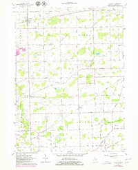
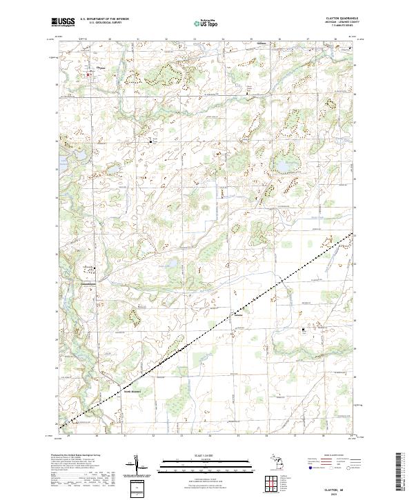
Clayton and its surrounding rural hamlets define this section of Lenawee County, where the landscape is intricately carved by a network of agricultural drains and small waterways. The South Branch River Raisin and the South Branch Stony Creek provide the primary drainage for the region, which is marked by several small water bodies including Demings Lake, Rice Lake, and Vales Lake. The road network follows a rigid section-line grid, typical of the Midwestern plains, connecting smaller communities like Seneca, Canandaigua, and North Morenci.
Find a feature on this map
73 named features on this map. Tap any name to fly to it.
Don’t see what you’re looking for? This feature index may not catch every label — zoom into the map to look around manually.
Map Details
Editions of this 2023 Clayton Map
This is the sole edition of this map. No revisions or reprints were ever made.