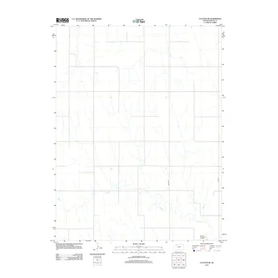
2012 Map of Clayton NE
USGS Topo · Published 2012About this map
Elk Cr winds through this section of Norton County, creating a series of intricate meanders across the southern portion of the landscape. The terrain is characterized by the agricultural grid typical of the Kansas High Plains, where the drainage of the creek breaks the geometric regularity of the section lines. Transportation in the early 21st century relies on a network of rural routes, including Airport Rd and Road W-6, which provide access to the area's remote farmsteads and fields. In the southeast corner, the Lenora Municipal Airfield serves as a localized aviation hub, reflecting the importance of air travel for specialized services or regional connectivity in this expansive rural environment. This survey captures the intersection of natural waterways and modern infrastructure in a sparsely populated agricultural district.
Find a feature on this map
4 named features on this map. Tap any name to fly to it.
Don’t see what you’re looking for? This feature index may not catch every label — zoom into the map to look around manually.
Map Details
Editions of this 2012 Clayton NE Map
This is the sole edition of this map. No revisions or reprints were ever made.
Other maps of this area

1893 · Norton
USGS Topo · 1:125,000

1951 · Norton
USGS Topo · 1:62,500

1951 · Norcatur
USGS Topo · 1:62,500

1954 · Goodland
USGS Topo · 1:250,000

1955 · Beloit
USGS Topo · 1:250,000

1956 · Goodland
USGS Topo · 1:250,000

1957 · Goodland
USGS Topo · 1:250,000

1959 · Beloit
USGS Topo · 1:250,000

1978 · Clayton SW
USGS Topo · 1:24,000

1978 · Clayton
USGS Topo · 1:24,000