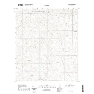
2020 Map of Clayton South
USGS Topo · Published 2020About this map
Clayton anchors the northern edge of this Barbour County landscape, where the southern bypass diverts traffic around the local center. To the south, the terrain becomes a network of creek drainages including Barbour Cr and Lindsey Cr, punctuated by small rural hubs such as Lindsey and the aptly named Lime Sink. The land use is defined by a mix of agricultural infrastructure and natural water features, most notably Louisville Club Pond and Adams Millpond. Genealogists and local historians can trace the placement of family and community landmarks like Warren Cem and the Tabernacle Cem, alongside a dense network of country roads including Richards Mill Rd and Antioch Church Rd that connect these dispersed points of interest across the rolling Alabama coastal plain.
Find a feature on this map
55 named features on this map. Tap any name to fly to it.
Don’t see what you’re looking for? This feature index may not catch every label — zoom into the map to look around manually.
Map Details
Editions of this 2020 Clayton South Map
This is the sole edition of this map. No revisions or reprints were ever made.
Other maps of this area

1953 · Dothan
USGS Topo · 1:250,000

1954 · Dothan
USGS Topo · 1:250,000

1955 · Dothan
USGS Topo · 1:250,000

1967 · Clayton South
USGS Topo · 1:24,000

1968 · Baker Hill
USGS Topo · 1:24,000

1968 · White Oak
USGS Topo · 1:24,000

1968 · Clayton North
USGS Topo · 1:24,000

1968 · Louisville
USGS Topo · 1:24,000

1968 · Mount Andrew
USGS Topo · 1:24,000
1969 · Clio
USGS Topo · 1:24,000