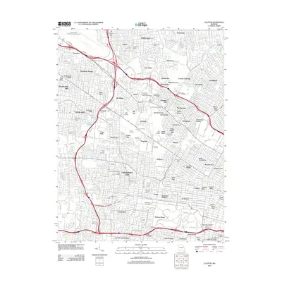
2012 Map of Clayton
USGS Topo · Published 2012About this map
The suburban landscape of Saint Louis County appears in high detail on this 2012 survey, revealing a dense network of residential municipalities and educational institutions. From the southern boundary near Clayton and Richmond Heights, the map traces the sprawl northward through University City and the campus of Washington University. The area is notably dense with burial grounds, including the large Washington Park Cemetery near the airport approach and the clustered Valhalla Cemetery, Saint Peters Cemetery, and Greenwood Cemetery.
Find a feature on this map
111 named features on this map. Tap any name to fly to it.
Don’t see what you’re looking for? This feature index may not catch every label — zoom into the map to look around manually.
Map Details
Editions of this 2012 Clayton Map
This is the sole edition of this map. No revisions or reprints were ever made.
Other maps of this area

1888 · St. Louis
USGS Topo · 1:62,500
1924 · Robertson
USGS Topo · 1:24,000

1927 · Alton
USGS Topo · 1:62,500

1927 · St. Charles
USGS Topo · 1:62,500
1933 · Creve Coeur
USGS Topo · 1:24,000
1933 · Granite City
USGS Topo · 1:24,000
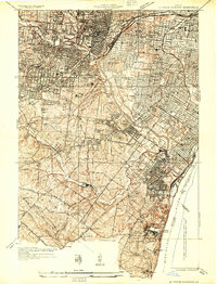
1933 · Jefferson Barracks
USGS Topo · 1:24,000
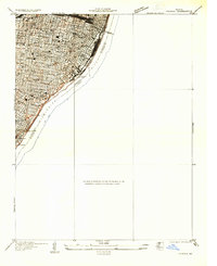
1933 · Cahokia
USGS Topo · 1:24,000
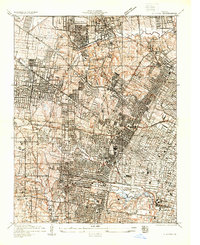
1933 · Clayton
USGS Topo · 1:24,000
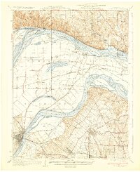
1933 · Saint Charles
USGS Topo · 1:62,500