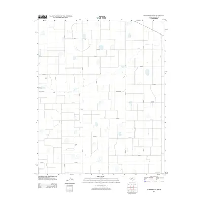
2012 Map of Claytonville NW
USGS Topo · Published 2012About this map
The agricultural plains of Swisher County are defined by an expansive grid of county roads and intermittent water storage in this 2012 survey. The landscape is marked by the presence of private and industrial water resources, including the H T Copeland Reservoir and the Roy Stockett Reservoir, which reflect the region's reliance on managed water for ranching and farming operations. The Tulia Feedlot Reservoir in the western portion of the map highlights the area's role in the regional cattle industry.
Find a feature on this map
24 named features on this map. Tap any name to fly to it.
Don’t see what you’re looking for? This feature index may not catch every label — zoom into the map to look around manually.
Map Details
Editions of this 2012 Claytonville NW Map
This is the sole edition of this map. No revisions or reprints were ever made.
Other maps of this area

1954 · Plainview
USGS Topo · 1:250,000

1958 · Plainview
USGS Topo · 1:250,000

1965 · Edmonson NE
USGS Topo · 1:24,000

1965 · Kress West
USGS Topo · 1:24,000

1965 · Tulia
USGS Topo · 1:24,000

1968 · Tule Lake
USGS Topo · 1:24,000

1969 · Love
USGS Topo · 1:24,000

1969 · Kress East
USGS Topo · 1:24,000

1969 · Claytonville
USGS Topo · 1:24,000

1969 · Claytonville NW
USGS Topo · 1:24,000