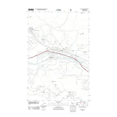
2011 Map of Cle Elum
USGS Topo · Published 2011About this map
The Yakima River valley serves as the central artery for this region, flanked by the industrial and residential corridors of Cle Elum and Roslyn. This landscape is deeply defined by its extractive history, with numerous named shafts such as Number 9 Mine, Number 6 Canyon, and the Rothlisberger Mine scattered throughout the surrounding ridges. The transportation network is a complex layering of old and new, where the Iron Horse Trl follows the historical rail alignment south of the river, passing through South Cle Elum. High above the valley floor, landmarks like Peoh Point and the Cle Elum Point Lookout provide vantage points over the developing infrastructure, including the Cle Elum Municipal Airport and the residential expansion of Suncadia Trl. The presence of Laurel Hill Memorial Cemetery and several canyons named for early families, such as Balmers Canyon and Steiners Canyon, anchor the map with significant genealogical and local-history value.
Find a feature on this map
88 named features on this map. Tap any name to fly to it.
Don’t see what you’re looking for? This feature index may not catch every label — zoom into the map to look around manually.
Map Details
Editions of this 2011 Cle Elum Map
This is the sole edition of this map. No revisions or reprints were ever made.
Other maps of this area

1897 · Mount Stuart
USGS Topo · 1:125,000

1901 · Snoqualmie Pass
USGS Topo · 1:125,000

1902 · Mount Stuart
USGS Topo · 1:125,000

1903 · Snoqualmie
USGS Topo · 1:125,000

1957 · Wenatchee
USGS Topo · 1:250,000

1958 · Cle Elum
USGS Topo · 1:62,500

1961 · Mount Stuart
USGS Topo · 1:62,500

1961 · Easton
USGS Topo · 1:62,500

1961 · Kachess Lake
USGS Topo · 1:62,500

1975 · Snoqualmie Pass
USGS Topo · 1:100,000