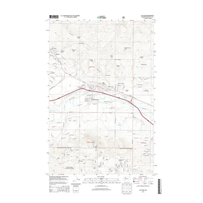
2014 Map of Cle Elum
USGS Topo · Published 2014About this map
The mountain settlements of Roslyn and Cle Elum define this Kittitas County landscape, where the mining history of the Cascades is etched into the modern street grid through names like Coal Mine Way and Steam Gin Loop. The Yakima River snakes through the valley floor, separating the primary townships from South Cle Elum and the rising slopes of S Cle Elum Ridge. To the south, the terrain climbs sharply toward the Wenatchee National Forest, marked by prominent landmarks such as Peoh Point and Taneum Point. The map also documents the transit and utility infrastructure that supports the region, from the Cle Elum Municipal Airport and the path of Milwaukee Ave to the Main Canal that manages water resources for the valley below the rugged canyons of Cle Elum Ridge.
Find a feature on this map
108 named features on this map. Tap any name to fly to it.
Don’t see what you’re looking for? This feature index may not catch every label — zoom into the map to look around manually.
Map Details
Editions of this 2014 Cle Elum Map
This is the sole edition of this map. No revisions or reprints were ever made.
Other maps of this area

1897 · Mount Stuart
USGS Topo · 1:125,000

1901 · Snoqualmie Pass
USGS Topo · 1:125,000

1902 · Mount Stuart
USGS Topo · 1:125,000

1903 · Snoqualmie
USGS Topo · 1:125,000

1957 · Wenatchee
USGS Topo · 1:250,000

1958 · Cle Elum
USGS Topo · 1:62,500

1961 · Mount Stuart
USGS Topo · 1:62,500

1961 · Easton
USGS Topo · 1:62,500

1961 · Kachess Lake
USGS Topo · 1:62,500

1975 · Snoqualmie Pass
USGS Topo · 1:100,000