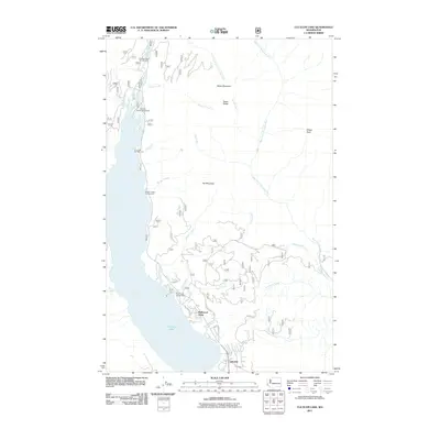
2011 Map of Cle Elum Lake
USGS Topo · Published 2011About this map
Cle Elum Lake and the winding Cle Elum River dominate this Central Washington landscape, where the water meets the steep slopes of the Cascade foothills. The 2011 survey documents a mix of seasonal recreation and permanent residential growth, particularly evident in the small communities of Driftwood Acres and Lakedale situated near the southern shoreline. Numerous access points like Wish Poosh Campground and Dry Creek Campground line the western bank, indicating the area's importance as a regional retreat.
Find a feature on this map
38 named features on this map. Tap any name to fly to it.
Don’t see what you’re looking for? This feature index may not catch every label — zoom into the map to look around manually.
Map Details
Editions of this 2011 Cle Elum Lake Map
This is the sole edition of this map. No revisions or reprints were ever made.
Other maps of this area

1897 · Mount Stuart
USGS Topo · 1:125,000

1901 · Snoqualmie Pass
USGS Topo · 1:125,000

1902 · Mount Stuart
USGS Topo · 1:125,000

1903 · Snoqualmie
USGS Topo · 1:125,000

1957 · Wenatchee
USGS Topo · 1:250,000

1958 · Cle Elum
USGS Topo · 1:62,500

1961 · Mount Stuart
USGS Topo · 1:62,500

1961 · Easton
USGS Topo · 1:62,500

1961 · Kachess Lake
USGS Topo · 1:62,500

1975 · Snoqualmie Pass
USGS Topo · 1:100,000