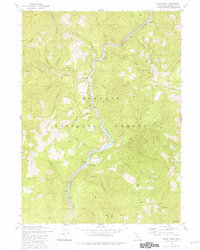
1981 Map of Clear Creek
USGS Topo · Published 1981About this map
The Klamath River carves a serpentine path through the heart of the Klamath National Forest in this 1981 survey of Siskiyou County. The landscape is defined by its gold-mining legacy, with numerous workings dotting the steep drainages, including the Siskiyou Mine, Independence Mine, and Bunker Hill Mine. These sites, alongside several river bars such as Attebery Bar and Wingate Bar, speak to the long history of resource extraction in the region.
Find a feature on this map
54 named features on this map. Tap any name to fly to it.
Don’t see what you’re looking for? This feature index may not catch every label — zoom into the map to look around manually.
Map Details
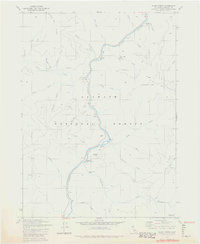
Editions of this 1981 Clear Creek Map
2 editions found
Other maps of this area

1914 · Seiad
USGS Topo · 1:125,000

1922 · Preston Peak
USGS Topo · 1:125,000

1922 · Seiad
USGS Topo · 1:125,000

1948 · Weed
USGS Topo · 1:250,000

1950 · Weed
USGS Topo · 1:250,000

1955 · Dillon Mtn
USGS Topo · 1:62,500

1955 · Ukonom Lake
USGS Topo · 1:62,500

1956 · Happy Camp
USGS Topo · 1:62,500

1956 · Preston Peak
USGS Topo · 1:62,500

1958 · Weed
USGS Topo · 1:250,000