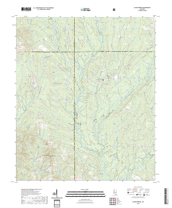
2024 Map of Clear Springs
USGS Topo · Published 2024About this map
Bienville National Forest dominates this section of the Mississippi piney woods, where several small communities and family burial grounds are preserved in a landscape defined by its creek systems. The settlement at Clear Springs serves as a local anchor, centered around the Clear Springs Baptist Church Cem. The map reveals a complex network of forest and county roads, such as Shopping Center Rd 517 and Louin Pineville Rd, that connect isolated homesteads and timberlands across the borders of Smith, Jasper, Scott, and Newton counties. Numerous watercourses, including West Tallahala Creek and Little Ichusa Creek, carve through the terrain, while Marathon Lake provides a localized water feature within the protected forest. For genealogists, the proximity of the Mount Calvary Baptist Church Cem and the Burnett Cem offers clear landmarks for tracing family histories in this rural interior.
Find a feature on this map
48 named features on this map. Tap any name to fly to it.
Don’t see what you’re looking for? This feature index may not catch every label — zoom into the map to look around manually.
Map Details
Editions of this 2024 Clear Springs Map
This is the sole edition of this map. No revisions or reprints were ever made.
Other maps of this area

1921 · Forest
USGS Topo · 1:48,000

1922 · Forest
USGS Topo · 1:62,500

1950 · Forest
USGS Topo · 1:62,500

1952 · Forest
USGS Topo · 1:62,500

1953 · Meridian
USGS Topo · 1:250,000

1957 · Meridian
USGS Topo · 1:250,000

1965 · Meridian
USGS Topo · 1:250,000

1966 · Newton
USGS Topo · 1:24,000

1968 · Clear Springs
USGS Topo · 1:24,000

1968 · Pineville
USGS Topo · 1:24,000