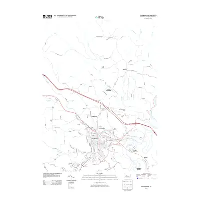
2013 Map of Clearfield
USGS Topo · Published 2013About this map
The W Br Susquehanna River defines the heart of this region, winding past the commercial and residential center of Clearfield. The town's layout is bordered by established neighborhoods and industrial sectors like Plymptonville and Kerr Addition, while the Clearfield-Lawrence Airport sits north of the river's bend. This 2013 survey illustrates a landscape of deep valleys and ridges, where narrow roads like McGeorge Rd and Goshen Rd trace the paths of numerous runs, including Lick Run and Wolf Run.
Find a feature on this map
161 named features on this map. Tap any name to fly to it.
Don’t see what you’re looking for? This feature index may not catch every label — zoom into the map to look around manually.
Map Details
Editions of this 2013 Clearfield Map
This is the sole edition of this map. No revisions or reprints were ever made.
Other maps of this area

1903 · Curwensville
USGS Topo · 1:62,500

1903 · Houtzdale
USGS Topo · 1:62,500

1905 · Houtzdale
USGS Topo · 1:62,500

1929 · Clearfield
USGS Topo · 1:48,000

1929 · Penfield
USGS Topo · 1:62,500

1932 · Clearfield
USGS Topo · 1:62,500

1932 · Penfield
USGS Topo · 1:62,500

1939 · Curwensville
USGS Topo · 1:62,500

1942 · Curwensville
USGS Topo · 1:62,500

1943 · Punxsutawney
USGS Topo · 1:125,000