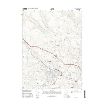
2016 Map of Clearfield
USGS Topo · Published 2016About this map
The West Branch Susquehanna River defines the industrial and residential heart of this region, winding through the valley where Clearfield serves as a primary hub. The settlement pattern here is dense along the riverbanks, featuring neighborhoods like Kerr Addition and Plymptonville, while rural tracts like Golden Rod Farms and the Baney Settlement occupy the surrounding higher ground. Significant infrastructure is evident in the presence of the Clearfield-Lawrence Airport and several rail-related features such as Clearfield Junction.
Find a feature on this map
130 named features on this map. Tap any name to fly to it.
Don’t see what you’re looking for? This feature index may not catch every label — zoom into the map to look around manually.
Map Details
Editions of this 2016 Clearfield Map
This is the sole edition of this map. No revisions or reprints were ever made.
Other maps of this area

1903 · Curwensville
USGS Topo · 1:62,500

1903 · Houtzdale
USGS Topo · 1:62,500

1905 · Houtzdale
USGS Topo · 1:62,500

1929 · Clearfield
USGS Topo · 1:48,000

1929 · Penfield
USGS Topo · 1:62,500

1932 · Clearfield
USGS Topo · 1:62,500

1932 · Penfield
USGS Topo · 1:62,500

1939 · Curwensville
USGS Topo · 1:62,500

1942 · Curwensville
USGS Topo · 1:62,500

1943 · Punxsutawney
USGS Topo · 1:125,000