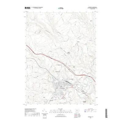
2019 Map of Clearfield
USGS Topo · Published 2019About this map
The West Branch Susquehanna River curves through the heart of this landscape, anchoring the borough of Clearfield and its surrounding communities. As the county seat, the area is defined by its institutional and civic landmarks, including the Clearfield County Courthouse and the Lock Haven University of Pennsylvania Clearfield Campus. The map reveals a dense network of neighborhoods and outlying settlements such as Plymptonville, Kerr Addition, and Hyde, which developed alongside the river and the rail lines at Clearfield Junction.
Find a feature on this map
138 named features on this map. Tap any name to fly to it.
Don’t see what you’re looking for? This feature index may not catch every label — zoom into the map to look around manually.
Map Details
Editions of this 2019 Clearfield Map
This is the sole edition of this map. No revisions or reprints were ever made.
Other maps of this area
1903 · Curwensville
USGS Topo · 1:62,500
1903 · Houtzdale
USGS Topo · 1:62,500
1905 · Houtzdale
USGS Topo · 1:62,500
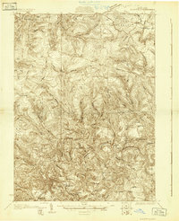
1929 · Clearfield
USGS Topo · 1:48,000
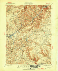
1929 · Penfield
USGS Topo · 1:62,500
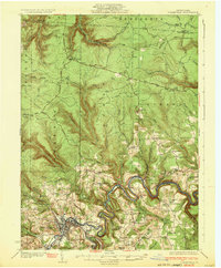
1932 · Clearfield
USGS Topo · 1:62,500
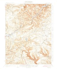
1932 · Penfield
USGS Topo · 1:62,500
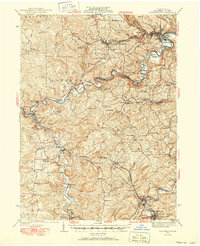
1939 · Curwensville
USGS Topo · 1:62,500
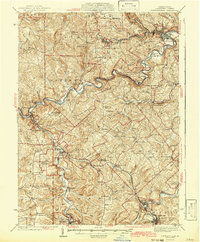
1942 · Curwensville
USGS Topo · 1:62,500
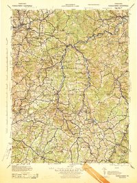
1943 · Punxsutawney
USGS Topo · 1:125,000