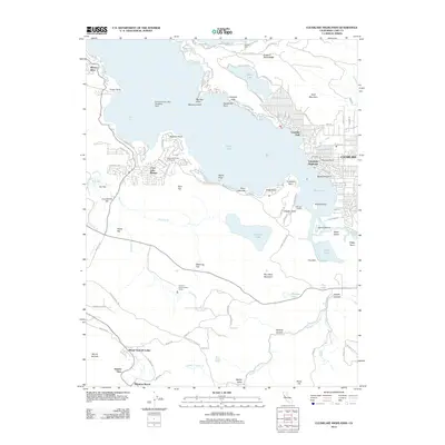
2012 Map of Clearlake Highlands
USGS Topo · Published 2012About this map
Clear Lake dominates this landscape, its southern shoreline marked by a series of developed communities and distinctive geological features. The settlement of Clearlake Highlands serves as a focal point near the southern basin, while to the west, residential enclaves like Riviera West and Clear Lake Riviera wrap around Konocti Bay. The presence of the Konocti-Clear Lake Seaplane Base indicates the lake's importance for aviation and regional access beyond simple recreation.
Find a feature on this map
109 named features on this map. Tap any name to fly to it.
Don’t see what you’re looking for? This feature index may not catch every label — zoom into the map to look around manually.
Map Details
Editions of this 2012 Clearlake Highlands Map
This is the sole edition of this map. No revisions or reprints were ever made.
Other maps of this area
1921 · Kelseyville
USGS Topo · 1:62,500
1924 · Bartlett Springs
USGS Topo · 1:62,500
1938 · Lakeport
USGS Topo · 1:62,500
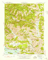
1942 · Bartlett Springs
USGS Topo · 1:62,500
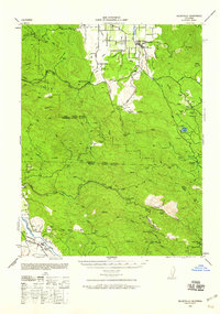
1943 · Kelseyville
USGS Topo · 1:62,500
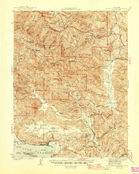
1944 · Bartlett Springs
USGS Topo · 1:62,500
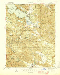
1945 · Lower Lake
USGS Topo · 1:62,500

1947 · Santa Rosa
USGS Topo · 1:250,000
1949 · Santa Rosa
USGS Topo · 1:250,000
1951 · Lakeport
USGS Topo · 1:62,500