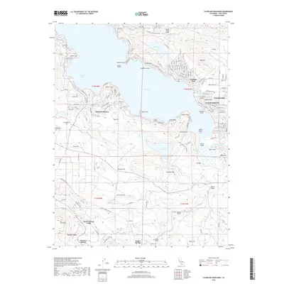
2018 Map of Clearlake Highlands
USGS Topo · Published 2018About this map
Sulphur Bank Mine and Borax Lake dominate the northern landscape of this Lake County survey, reflecting the area's complex geothermal and mineral history. The eastern shore of Clear Lake is densely developed around Clearlake Highlands and Clearlake Park, where a tight grid of residential streets like 1st St and San Joaquin Ave meet the water. This 2018 record captures the region's duality as both a recreational destination and a site of significant geological interest.
Find a feature on this map
166 named features on this map. Tap any name to fly to it.
Don’t see what you’re looking for? This feature index may not catch every label — zoom into the map to look around manually.
Map Details
Editions of this 2018 Clearlake Highlands Map
This is the sole edition of this map. No revisions or reprints were ever made.
Other maps of this area

1921 · Kelseyville
USGS Topo · 1:62,500

1924 · Bartlett Springs
USGS Topo · 1:62,500

1938 · Lakeport
USGS Topo · 1:62,500

1942 · Bartlett Springs
USGS Topo · 1:62,500

1943 · Kelseyville
USGS Topo · 1:62,500

1944 · Bartlett Springs
USGS Topo · 1:62,500

1945 · Lower Lake
USGS Topo · 1:62,500

1947 · Santa Rosa
USGS Topo · 1:250,000

1949 · Santa Rosa
USGS Topo · 1:250,000

1951 · Lakeport
USGS Topo · 1:62,500