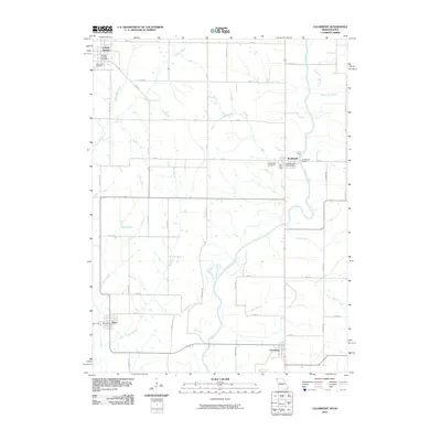
2010 Map of Clearmont
USGS Topo · Published 2010About this map
The Nodaway River carves a path through the borderlands of Missouri and Iowa, anchoring a landscape defined by small agrarian settlements and scattered family landmarks. In the south, Clearmont and Elmo serve as local hubs, while Braddyville sits further north along the river's winding course. The map documents the rural infrastructure of the early 21st century, showing the persistence of local institutions like the College Springs Post Office and the Braddyville Post Office.
Find a feature on this map
47 named features on this map. Tap any name to fly to it.
Don’t see what you’re looking for? This feature index may not catch every label — zoom into the map to look around manually.
Map Details
Editions of this 2010 Clearmont Map
This is the sole edition of this map. No revisions or reprints were ever made.
Other maps of this area

1939 · Skidmore
USGS Topo · 1:62,500

1940 · Coin
USGS Topo · 1:62,500

1940 · New Market
USGS Topo · 1:62,500

1941 · Skidmore
USGS Topo · 1:62,500

1942 · Skidmore
USGS Topo · 1:62,500

1943 · Coin
USGS Topo · 1:62,500

1943 · Maryville
USGS Topo · 1:62,500

1943 · New Market
USGS Topo · 1:62,500

1955 · Nebraska City
USGS Topo · 1:250,000

1957 · Nebraska City
USGS Topo · 1:250,000