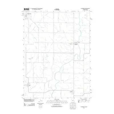
2012 Map of Clearmont
USGS Topo · Published 2012About this map
The Nodaway River meanders southward through this rural borderland between Missouri and Iowa, anchoring a landscape defined by small farming communities and tributary systems. In the north, College Springs is situated near the headwaters of East Mill Creek and Middle Mill Creek, featuring the College Springs Post Office and Maple Hill Cemetery. The state line divides this town from Braddyville, which serves as a central point of activity with its own Braddyville Post Office, Braddyville Cemetery, and the Braddyville Access along the river.
Find a feature on this map
53 named features on this map. Tap any name to fly to it.
Don’t see what you’re looking for? This feature index may not catch every label — zoom into the map to look around manually.
Map Details
Editions of this 2012 Clearmont Map
This is the sole edition of this map. No revisions or reprints were ever made.
Other maps of this area

1939 · Skidmore
USGS Topo · 1:62,500

1940 · Coin
USGS Topo · 1:62,500

1940 · New Market
USGS Topo · 1:62,500

1941 · Skidmore
USGS Topo · 1:62,500

1942 · Skidmore
USGS Topo · 1:62,500

1943 · Coin
USGS Topo · 1:62,500

1943 · Maryville
USGS Topo · 1:62,500

1943 · New Market
USGS Topo · 1:62,500

1955 · Nebraska City
USGS Topo · 1:250,000

1957 · Nebraska City
USGS Topo · 1:250,000