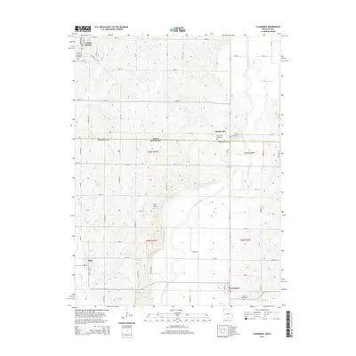
2015 Map of Clearmont
USGS Topo · Published 2015About this map
The Nodaway River carves a winding path across this borderland between Iowa and Missouri, anchoring a landscape defined by small agrarian settlements and family cemeteries. In the northern reaches, College Springs and Braddyville sit just across the state line from Elmo and Clearmont in Missouri. The map reveals a tight-knit network of country roads, such as Eagle Rd and CR-j64, that connect these rural hubs to the surrounding fertile plains. Local history is deeply embedded in the topography through several established burial grounds, including Maple Hill Cemetery, Union Grove Cemetery, and Oak Hill Cemetery. Small water bodies like Pruitt Lake and numerous drainage branches like Moss Br and Jerry Cr illustrate the intricate hydrology of the region, where the river remains the primary geographic feature.
Find a feature on this map
43 named features on this map. Tap any name to fly to it.
Don’t see what you’re looking for? This feature index may not catch every label — zoom into the map to look around manually.
Map Details
Editions of this 2015 Clearmont Map
This is the sole edition of this map. No revisions or reprints were ever made.
Other maps of this area

1939 · Skidmore
USGS Topo · 1:62,500

1940 · Coin
USGS Topo · 1:62,500

1940 · New Market
USGS Topo · 1:62,500

1941 · Skidmore
USGS Topo · 1:62,500

1942 · Skidmore
USGS Topo · 1:62,500

1943 · Coin
USGS Topo · 1:62,500

1943 · Maryville
USGS Topo · 1:62,500

1943 · New Market
USGS Topo · 1:62,500

1955 · Nebraska City
USGS Topo · 1:250,000

1957 · Nebraska City
USGS Topo · 1:250,000