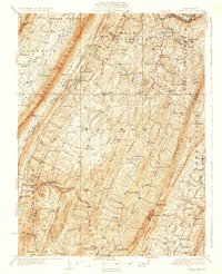
1931 Map of Clearville
USGS Topo · Published 1931About this map
West Providence and Monroe townships are defined by a series of dramatic ridges, where the Raystown Branch Juniata River carves through the northern hills near Jackson Mills. The 1927 survey reveals a landscape deeply organized by the local geography, with settlements like Clearville and Chaneysville situated along key drainage routes such as Clear Creek and Town Creek. This alignment of human habitation with the natural corridors of Tussey Mountain and Warrior Ridge illustrates the persistent influence of the terrain on early 20th-century road networks.
Find a feature on this map
115 named features on this map. Tap any name to fly to it.
Don’t see what you’re looking for? This feature index may not catch every label — zoom into the map to look around manually.
Map Details
Editions of this 1931 Clearville Map
3 editions found

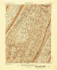
Other maps of this area

1898 · Paw Paw
USGS Topo · 1:62,500

1899 · Flintstone
USGS Topo · 1:62,500

1899 · Hancock
USGS Topo · 1:62,500

1900 · Pawpaw
USGS Topo · 1:62,500

1900 · Flintstone
USGS Topo · 1:62,500

1900 · Everett
USGS Topo · 1:62,500

1901 · Hancock
USGS Topo · 1:62,500

1902 · Everett
USGS Topo · 1:62,500

1908 · Bedford
USGS Topo · 1:62,500

1910 · Bedford
USGS Topo · 1:62,500
Featured Places
- Colerain Township, PA
- Bedford Township, PA
- West Providence Township, PA
- Inglesmith, Mann Township
- Bethel Township, PA