
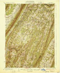
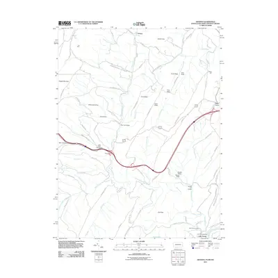
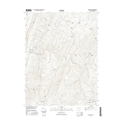
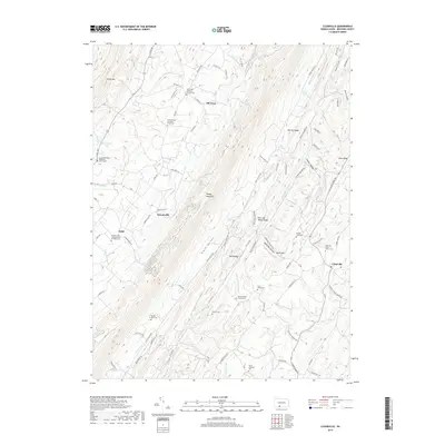
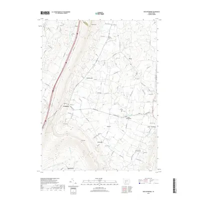
1931 Map of Clearville
USGS Topo · Published 1945About this map
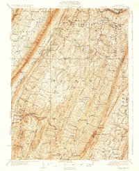
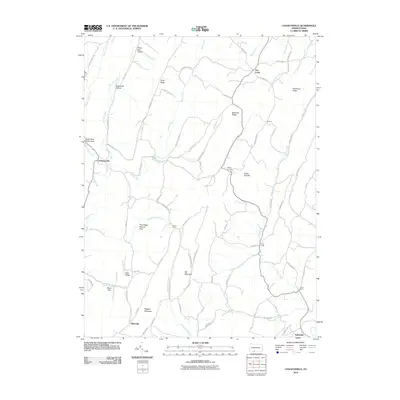
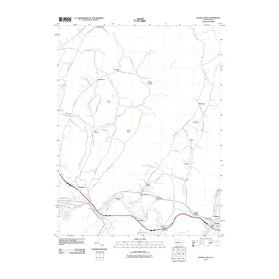
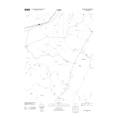
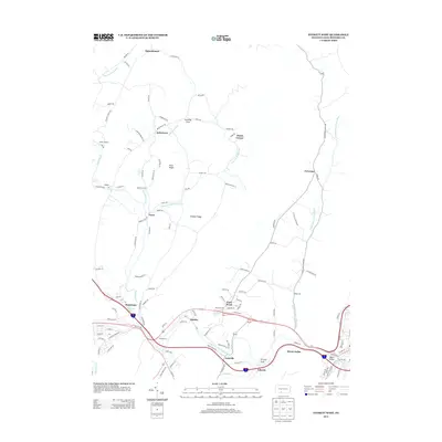
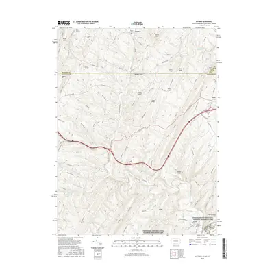
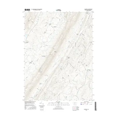
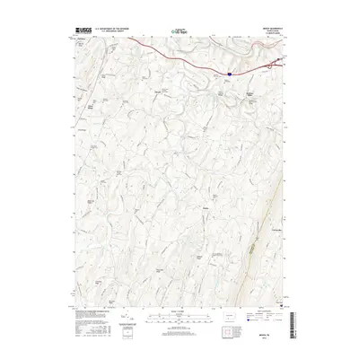
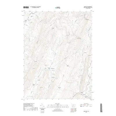
Sideling Hill and the series of northeast-trending ridges create the dominant structural character of this central Pennsylvania landscape, surveyed in 1927. The map documents a rural agrarian and mountain economy before modern highway expansion fully reshaped the region, though the newly established Pennsylvania Turnpike and the Lincoln Highway already cut across the northern terrain near the Raystown Br Juniata River. Family names are deeply etched into the topography at locations like Jackson Mills, Koontzville, and Diehl, while the density of country schoolhouses, such as Barkman Sch and Piney Lick Sch, indicates a decentralized community structure. The southern reaches near Inglesmith and Amaranth are particularly rich in local genealogy markers, featuring several landmark churches like Bethel Ch and cemeteries including Hendershot Cem and McKees Cem, which served the scattered residents of the Brush Creek Valley.
Find a feature on this map
99 named features on this map. Tap any name to fly to it.
Don’t see what you’re looking for? This feature index may not catch every label — zoom into the map to look around manually.
Map Details
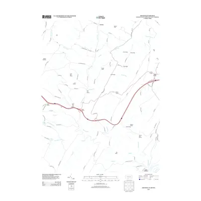
Editions of this 1931 Clearville Map
3 editions found
Historical Maps of Colerain Township Through Time
76 maps found

1908 Bedford
Bedford County, PA

1910 Bedford
Bedford County, PA

1927 Clearville
Bedford County, PA
1931 Clearville
Bedford County, PA

1944 Clearville
Bedford County, PA

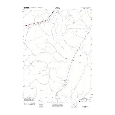
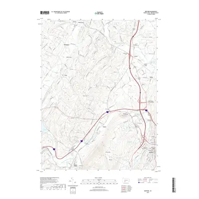
1950 Artemas
Bedford County, PA

1967 Beans Cove
Bedford County, PA

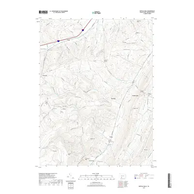
1967 Buffalo Mills
Bedford County, PA

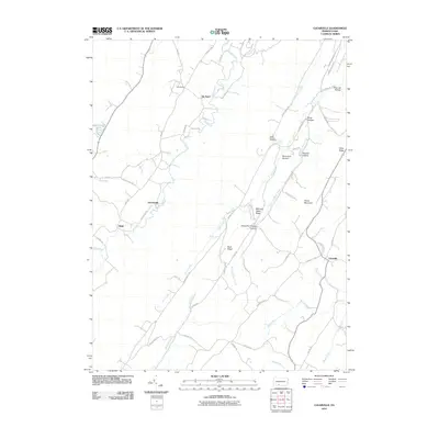
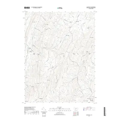
1967 Clearville
Bedford County, PA

1967 Mench
Bedford County, PA

1968 Chaneysville
Bedford County, PA

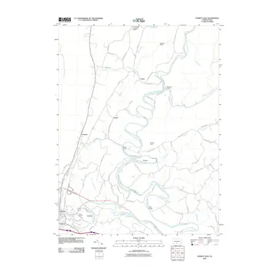
1968 Everett East
Bedford County, PA

1968 Everett West
Bedford County, PA

1968 New Enterprise
Bedford County, PA

1971 Alum Bank
Bedford County, PA

1971 Bedford
Bedford County, PA

1971 Ogletown
Bedford County, PA

1977 Ogletown
Bedford County, PA

1994 Everett East
Bedford County, PA

1994 Mench
Bedford County, PA
2010 Beans Cove
Bedford County, PA
2010 Bedford
Bedford County, PA
2010 Buffalo Mills
Bedford County, PA
2010 Chaneysville
Bedford County, PA
2010 Clearville
Bedford County, PA
2010 Everett East
Bedford County, PA
2010 Everett West
Bedford County, PA
2010 Mench
Bedford County, PA
2010 New Enterprise
Bedford County, PA
2010 Ogletown
Bedford County, PA
2011 Artemas
Bedford County, PA
2013 Artemas
Bedford County, PA
2013 Beans Cove
Bedford County, PA
2013 Bedford
Bedford County, PA
2013 Buffalo Mills
Bedford County, PA
2013 Chaneysville
Bedford County, PA
2013 Clearville
Bedford County, PA
2013 Everett East
Bedford County, PA
2013 Everett West
Bedford County, PA
2013 Mench
Bedford County, PA
2013 New Enterprise
Bedford County, PA
2013 Ogletown
Bedford County, PA
2016 Artemas
Bedford County, PA
2016 Beans Cove
Bedford County, PA
2016 Bedford
Bedford County, PA
2016 Buffalo Mills
Bedford County, PA
2016 Chaneysville
Bedford County, PA
2016 Clearville
Bedford County, PA
2016 Everett East
Bedford County, PA
2016 Everett West
Bedford County, PA
2016 Mench
Bedford County, PA
2016 New Enterprise
Bedford County, PA
2016 Ogletown
Bedford County, PA
2019 Artemas
Bedford County, PA
2019 Beans Cove
Bedford County, PA
2019 Bedford
Bedford County, PA
2019 Buffalo Mills
Bedford County, PA
2019 Chaneysville
Bedford County, PA
2019 Clearville
Bedford County, PA
2019 Everett East
Bedford County, PA
2019 Everett West
Bedford County, PA
2019 Mench
Bedford County, PA
2019 New Enterprise
Bedford County, PA
2019 Ogletown
Bedford County, PA

2023 Alum Bank
Bedford County, PA

2023 Artemas
Bedford County, PA

2023 Beans Cove
Bedford County, PA

2023 Bedford
Bedford County, PA

2023 Buffalo Mills
Bedford County, PA

2023 Chaneysville
Bedford County, PA

2023 Clearville
Bedford County, PA

2023 Everett East
Bedford County, PA

2023 Everett West
Bedford County, PA

2023 Mench
Bedford County, PA

2023 New Enterprise
Bedford County, PA

2023 Ogletown
Bedford County, PA
Featured Locations
- Colerain Township, PA
- Bedford Township, PA
- West Providence Township, PA
- Bethel Township, PA
- Inglesmith, Mann Township