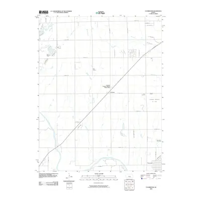
2009 Map of Clearwater
USGS Topo · Published 2009About this map
The Ninnescah River meanders through the southern portion of this Sedgwick County landscape, defining the character of the river valley near the city of Clearwater. This 2009 survey illustrates a Kansas prairie in transition, where traditional section lines and agricultural expanses meet modern residential developments like Colonial Estates Mobile Home Park and Amber Ridge. To the north, the small settlement of Clonmel sits along the W K 42 HWY corridor, which cuts diagonally across the township toward the regional hub of Wichita.
Find a feature on this map
48 named features on this map. Tap any name to fly to it.
Don’t see what you’re looking for? This feature index may not catch every label — zoom into the map to look around manually.
Map Details
Editions of this 2009 Clearwater Map
This is the sole edition of this map. No revisions or reprints were ever made.
Other maps of this area

1889 · Cheney
USGS Topo · 1:125,000

1889 · Wichita
USGS Topo · 1:125,000

1889 · Caldwell
USGS Topo · 1:125,000

1890 · Wellington
USGS Topo · 1:125,000

1891 · Cheney
USGS Topo · 1:125,000

1893 · Caldwell
USGS Topo · 1:125,000

1894 · Wichita
USGS Topo · 1:125,000

1897 · Caldwell
USGS Topo · 1:125,000

1901 · Cheney
USGS Topo · 1:125,000

1943 · Wichita West
USGS Topo · 1:31,680