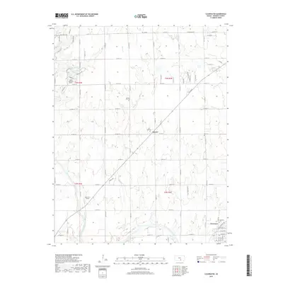
2018 Map of Clearwater
USGS Topo · Published 2018About this map
The Ninnescah River meanders across this Sedgwick County landscape, anchoring the community of Clearwater. This 2018 survey reveals a well-developed grid of rural roads and residential clusters centered around landmarks like Amber Ridge and the settlement of Clonmel. The area is notably dense with burial sites, providing significant genealogical value through the locations of Old Saint Johns Cem, Saint Johns Cem, Ruby Cem, and the Clearwater Cem.
Find a feature on this map
62 named features on this map. Tap any name to fly to it.
Don’t see what you’re looking for? This feature index may not catch every label — zoom into the map to look around manually.
Map Details
Editions of this 2018 Clearwater Map
This is the sole edition of this map. No revisions or reprints were ever made.
Other maps of this area
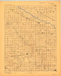
1889 · Cheney
USGS Topo · 1:125,000

1889 · Wichita
USGS Topo · 1:125,000
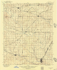
1889 · Caldwell
USGS Topo · 1:125,000
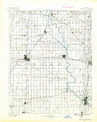
1890 · Wellington
USGS Topo · 1:125,000
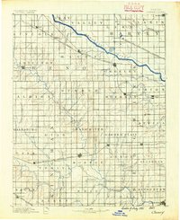
1891 · Cheney
USGS Topo · 1:125,000
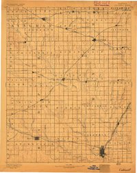
1893 · Caldwell
USGS Topo · 1:125,000
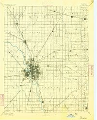
1894 · Wichita
USGS Topo · 1:125,000
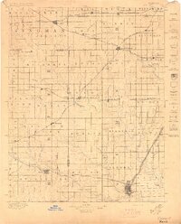
1897 · Caldwell
USGS Topo · 1:125,000
1901 · Cheney
USGS Topo · 1:125,000
1943 · Wichita West
USGS Topo · 1:31,680