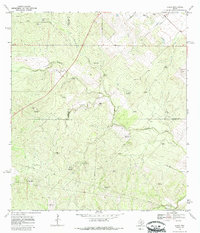
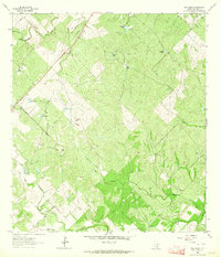
1969 Map of Clegg
USGS Topo · Published 1985About this map
Clegg and its surrounding ranchlands emerge as a network of cattle-raising operations and water management across the South Texas brush country of the late 1960s. The landscape is defined by its drainages, including Ramirena Creek, Lagarto Creek, and Botello Creek, which carve through the terrain. A high density of named windmills, such as Mala Suerte Windmill, Guajolote Windmill, and Goose Egg Windmill, illustrates the critical importance of groundwater for sustaining livestock in this arid environment. The map captures family-held properties like Martin Ranch and Ancira, alongside the community hub of the Clegg Cem. Industrial traces are limited to scattered gas wells, a Gravel Pit, and a prominent pipeline that cuts across the county lines of McMullen, Live Oak, and Duval. This survey provides a clear view of rural Texas life before further modern consolidation of these historic ranching tracts.
Find a feature on this map
36 named features on this map. Tap any name to fly to it.
Don’t see what you’re looking for? This feature index may not catch every label — zoom into the map to look around manually.
Map Details
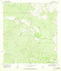
Editions of this 1969 Clegg Map
2 editions found
Other maps of this area

1920 · Mikeska
USGS Topo · 1:125,000

1920 · San Diego
USGS Topo · 1:62,500

1953 · Crystal City
USGS Topo · 1:250,000

1955 · Crystal City
USGS Topo · 1:250,000

1956 · Rosita Ranch
USGS Topo · 1:62,500

1956 · Laredo
USGS Topo · 1:250,000

1961 · Crystal City
USGS Topo · 1:250,000
1963 · Anna Rose
USGS Topo · 1:24,000
1963 · Shaeffer Ranch
USGS Topo · 1:24,000
1963 · Elm Creek
USGS Topo · 1:24,000