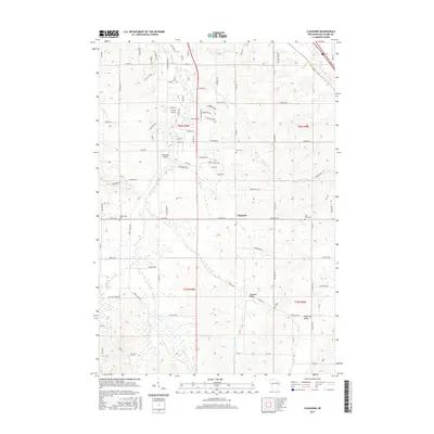
2015 Map of Cleghorn
USGS Topo · Published 2015About this map
Cleghorn serves as the central hub of this Eau Claire County landscape, where the rural character of the early 21st century is defined by its winding creek valleys and dispersed farmsteads. The drainage patterns of Lowes Cr and Clear Cr have long dictated the placement of roads and settlements, carving out localized identities such as Sigmund Valley and Anderson Valley in the southern portion of the sheet. For those researching family history, the map includes several well-preserved burial grounds, including Saint Paul Cem, Zion Cem, and Hadleyville Cem. Small-scale aviation is also a notable part of the local infrastructure, with both Carlson Airport and Mertinkes Airport situated amongst the agricultural sections. The network of county highways and named township roads connects these small communities, reflecting a landscape that has remained dedicated to its farming roots while supporting local transit and small-town commerce.
Find a feature on this map
95 named features on this map. Tap any name to fly to it.
Don’t see what you’re looking for? This feature index may not catch every label — zoom into the map to look around manually.
Map Details
Editions of this 2015 Cleghorn Map
This is the sole edition of this map. No revisions or reprints were ever made.
Other maps of this area

1927 · Strum
USGS Topo · 1:62,500

1930 · Strum
USGS Topo · 1:62,500

1932 · Mondovi
USGS Topo · 1:62,500

1934 · Elk Mound
USGS Topo · 1:62,500

1934 · Chippewa Falls
USGS Topo · 1:62,500

1936 · Chippewa Falls
USGS Topo · 1:62,500

1936 · Elk Mound
USGS Topo · 1:62,500

1953 · Eau Claire
USGS Topo · 1:250,000

1958 · Eau Claire
USGS Topo · 1:250,000

1964 · Eau Claire
USGS Topo · 1:250,000