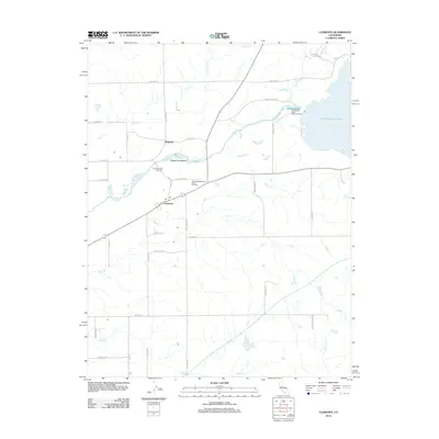
2012 Map of Clements
USGS Topo · Published 2012About this map
The Mokelumne River corridor defines this portion of northeastern San Joaquin County, where the transition from riparian lowlands to rolling ranch lands is marked by the presence of the Camanche Reservoir. Near the river, the small settlements of Clements and Dogtown serve as focal points for the surrounding agricultural community. The landscape is deeply tied to the water, featuring the Mokelumne River Fish Installation and the recreation-oriented Mokelumne Beach. Local cultural identity is captured by the Clements Buckaroos Rodeo Grounds and the Clements Glen View Cem, providing specific touchpoints for genealogists and local historians studying this rural pocket of California. Multiple seasonal drainages, including Bear Cr, Coyote Cr, and Paddy Cr, weave through a grid of country roads like E Liberty Rd and N Clements Rd.
Find a feature on this map
38 named features on this map. Tap any name to fly to it.
Don’t see what you’re looking for? This feature index may not catch every label — zoom into the map to look around manually.
Map Details
Editions of this 2012 Clements Map
This is the sole edition of this map. No revisions or reprints were ever made.
Other maps of this area

1889 · Jackson
USGS Topo · 1:125,000

1892 · Jackson
USGS Topo · 1:125,000

1894 · Lodi
USGS Topo · 1:125,000

1897 · Jackson
USGS Topo · 1:125,000

1902 · Jackson
USGS Topo · 1:125,000

1908 · Waterloo
USGS Topo · 1:31,680

1908 · Linden
USGS Topo · 1:31,680

1908 · Lockeford
USGS Topo · 1:31,680

1909 · Clay
USGS Topo · 1:31,680

1909 · Goose Creek
USGS Topo · 1:31,680