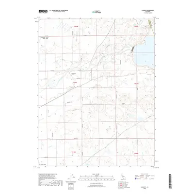
2018 Map of Clements
USGS Topo · Published 2018About this map
The Mokelumne River winds through the heart of this landscape, marking a transition point where the Sacramento Valley meets the northern San Joaquin Valley. Near the settlement of Clements, the river’s course is joined by Bear Cr and Murphy Cr, reflecting a region deeply tied to water management and agriculture. To the northeast, the massive Camanche Reservoir dominates the terrain at the border of Amador Co and San Joaquin Co.
Find a feature on this map
46 named features on this map. Tap any name to fly to it.
Don’t see what you’re looking for? This feature index may not catch every label — zoom into the map to look around manually.
Map Details
Editions of this 2018 Clements Map
This is the sole edition of this map. No revisions or reprints were ever made.
Other maps of this area

1889 · Jackson
USGS Topo · 1:125,000

1892 · Jackson
USGS Topo · 1:125,000

1894 · Lodi
USGS Topo · 1:125,000

1897 · Jackson
USGS Topo · 1:125,000

1902 · Jackson
USGS Topo · 1:125,000

1908 · Waterloo
USGS Topo · 1:31,680

1908 · Linden
USGS Topo · 1:31,680

1908 · Lockeford
USGS Topo · 1:31,680

1909 · Clay
USGS Topo · 1:31,680

1909 · Goose Creek
USGS Topo · 1:31,680