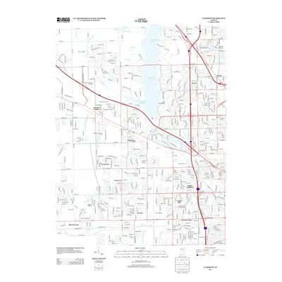
2013 Map of Clermont
USGS Topo · Published 2013About this map
Clermont and its neighboring residential developments anchor this western Marion County landscape in the early 21st century. The prominent Eagle Creek Reservoir dominates the center of the area, providing a significant hydrological and recreational focus for the surrounding communities of Clermont Heights and Wynbrooke. The map illustrates a suburban fabric deeply integrated with major transportation and industrial infrastructure, notably the sprawling Big Four Yard and the Conrail Railroad corridor that runs along the southern edge. The presence of the Indianapolis Raceway Park and the Colts Training Complex highlights the region's role in the city's sporting identity. Further south, established neighborhoods like Chapel Hill, Tremont, and Westwood are shown alongside smaller waterways such as Falcon Creek and East Fork White Lick Creek.
Find a feature on this map
121 named features on this map. Tap any name to fly to it.
Don’t see what you’re looking for? This feature index may not catch every label — zoom into the map to look around manually.
Map Details
Editions of this 2013 Clermont Map
This is the sole edition of this map. No revisions or reprints were ever made.
Other maps of this area

1948 · Maywood
USGS Topo · 1:24,000

1948 · Indianapolis West
USGS Topo · 1:24,000

1952 · Carmel
USGS Topo · 1:24,000

1953 · Bridgeport
USGS Topo · 1:24,000

1953 · Fayette
USGS Topo · 1:24,000

1953 · Brownsburg
USGS Topo · 1:24,000

1953 · Zionsville
USGS Topo · 1:24,000

1953 · Plainfield
USGS Topo · 1:24,000

1953 · Clermont
USGS Topo · 1:24,000

1953 · Indianapolis
USGS Topo · 1:250,000