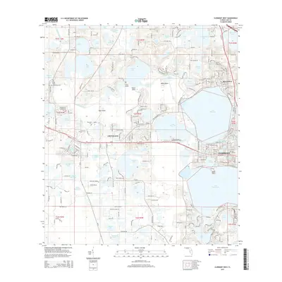
2015 Map of Clermont West
USGS Topo · Published 2015About this map
Groveland and Clermont anchor this central Florida landscape, where the interconnected chain of lakes dictates the pattern of 21st-century development. The Palatlakaha River winds through a complex system of water bodies including Lake Emma, Lake Minneola, and Lake Minnehaha. This 2015 survey reveals the density of local history preserved in its cemeteries, such as the Woods-Boyd Family Cem and Oak Hill Cem, which sit alongside modern infrastructure like Groveland Airport and Sheets Airport. The map documents the extensive residential growth in Minneola and around the shores of Crescent Lake and Lake Susan, while larger islands like Edges Island and Wilson Island remain prominent features in the aquatic geography of the region.
Find a feature on this map
227 named features on this map. Tap any name to fly to it.
Don’t see what you’re looking for? This feature index may not catch every label — zoom into the map to look around manually.
Map Details
Editions of this 2015 Clermont West Map
This is the sole edition of this map. No revisions or reprints were ever made.
Other maps of this area

1955 · Orlando
USGS Topo · 1:250,000

1957 · Orlando
USGS Topo · 1:250,000

1958 · Orlando
USGS Topo · 1:250,000

1959 · Lake Nellie
USGS Topo · 1:24,000

1959 · Lake Louisa
USGS Topo · 1:24,000
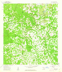
1960 · Bay Lake
USGS Topo · 1:24,000

1962 · Orlando
USGS Topo · 1:250,000

1962 · Clermont East
USGS Topo · 1:24,000

1962 · Astatula
USGS Topo · 1:24,000
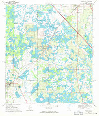
1969 · Center Hill
USGS Topo · 1:24,000