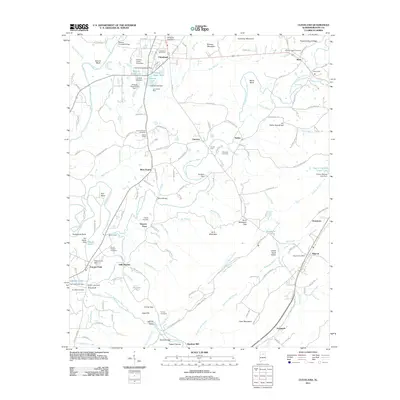
2011 Map of Cleveland
USGS Topo · Published 2011About this map
Cleveland and Allgood serve as the primary hubs in this section of Blount County, where the landscape is defined by the winding course of the Locust Fork and its numerous tributaries. The geography is marked by distinctive elevations such as Cornelius Mountain, Peach Orchard Ridge, and Hunt Mountain, which guide the settlement patterns between the valley floors and higher ridges. For genealogists, the map is remarkably dense with family-named landmarks and resting places, including the Greens Chapel Cemetery, Chitwood Cemetery, and Brown-Hudson Cemetery.
Find a feature on this map
152 named features on this map. Tap any name to fly to it.
Don’t see what you’re looking for? This feature index may not catch every label — zoom into the map to look around manually.
Map Details
Editions of this 2011 Cleveland Map
This is the sole edition of this map. No revisions or reprints were ever made.
Other maps of this area

1885 · Gadsden
USGS Topo · 1:125,000

1888 · Cullman
USGS Topo · 1:125,000

1888 · Gadsden
USGS Topo · 1:125,000

1889 · Springville
USGS Topo · 1:125,000

1889 · Birmingham
USGS Topo · 1:125,000

1892 · Cullman
USGS Topo · 1:125,000

1892 · Birmingham
USGS Topo · 1:125,000

1892 · Springville
USGS Topo · 1:125,000

1892 · Gadsden
USGS Topo · 1:125,000

1895 · Gadsden
USGS Topo · 1:125,000