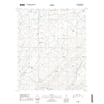
2020 Map of Cleveland
USGS Topo · Published 2020About this map
Swann Covered Bridge and the Old Easley Road Bridge stand as prominent landmarks across the winding waterways of Blount County. This part of Alabama is defined by the forks of the Little Warrior River and the Locust Fork, where the terrain rises sharply into ridges like Peach Orchard Ridge and Cornelius Mtn. The landscape is a network of small agricultural holdings and water features, including the Hazerig Farm Lake and Tidwell Pond.
Find a feature on this map
168 named features on this map. Tap any name to fly to it.
Don’t see what you’re looking for? This feature index may not catch every label — zoom into the map to look around manually.
Map Details
Editions of this 2020 Cleveland Map
This is the sole edition of this map. No revisions or reprints were ever made.
Other maps of this area

1885 · Gadsden
USGS Topo · 1:125,000

1888 · Cullman
USGS Topo · 1:125,000

1888 · Gadsden
USGS Topo · 1:125,000

1889 · Springville
USGS Topo · 1:125,000

1889 · Birmingham
USGS Topo · 1:125,000

1892 · Cullman
USGS Topo · 1:125,000

1892 · Birmingham
USGS Topo · 1:125,000

1892 · Springville
USGS Topo · 1:125,000

1892 · Gadsden
USGS Topo · 1:125,000

1895 · Gadsden
USGS Topo · 1:125,000