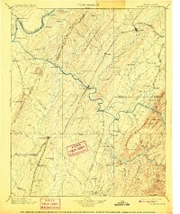
1901 Map of Cleveland
USGS Topo · Published 1909About this map
The Tennessee Valley and its industrial corridors appear in remarkable detail under the direction of George Otis Smith. This landscape is defined by the winding paths of the Tennessee River and Hiwassee River, where essential river crossings like Bunker Hill Ferry and Tucker Ferry served as vital transportation nodes before the era of modern bridging. The map captures the burgeoning rail network, specifically the Southern R.R. (Bristol and Chattanooga Div.) and the Nashville Tellico and Charleston R.R., which funneled commerce through growing hubs like Athens and Cleveland.
Find a feature on this map
134 named features on this map. Tap any name to fly to it.
Don’t see what you’re looking for? This feature index may not catch every label — zoom into the map to look around manually.
Map Details
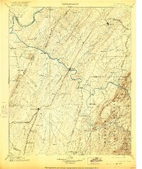
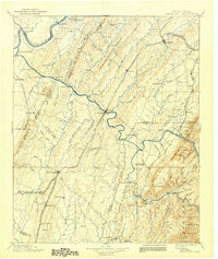
Editions of this 1901 Cleveland Map
4 editions found

Other maps of this area

1886 · Dalton
USGS Topo · 1:125,000

1886 · Cleveland
USGS Topo · 1:125,000

1886 · Ringgold
USGS Topo · 1:125,000

1887 · Kingston
USGS Topo · 1:125,000

1888 · Ellijay
USGS Topo · 1:125,000

1888 · Chattanooga
USGS Topo · 1:125,000

1891 · Kingston
USGS Topo · 1:125,000

1892 · Pikeville
USGS Topo · 1:125,000

1892 · Ringgold
USGS Topo · 1:125,000

1892 · Cleveland
USGS Topo · 1:125,000