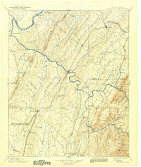
1901 Map of Cleveland
USGS Topo · Published 1942About this map
Athens and Cleveland anchor this turn-of-the-century landscape, which is defined by the sharp ridges and deep valleys of Southeast Tennessee. The terrain is marked by the Tennessee River and the Hiwassee River, where a series of essential river crossings such as Bunker Hill Ferry, Kincannon Ferry, and Helderbrand Ford facilitated local travel before modern bridging. The map captures the influence of the Southern R.R. and its divisions, which followed the natural corridors of the Oostanaula Creek and South Mouse Creek. To the east, the elevation rises sharply toward Chilhowee Mtn and Oswald Dome, illustrating the transition from the rolling valley farms to the dense timberlands of the mountains. Small milling communities and settlements like Longs Mills, Chestuee Mills, and Grady suggest a localized rural economy deeply tied to the region's waterways.
Find a feature on this map
125 named features on this map. Tap any name to fly to it.
Don’t see what you’re looking for? This feature index may not catch every label — zoom into the map to look around manually.
Map Details
Editions of this 1901 Cleveland Map
4 editions found

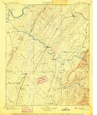
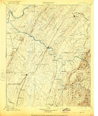
Other maps of this area

1886 · Dalton
USGS Topo · 1:125,000

1886 · Cleveland
USGS Topo · 1:125,000

1886 · Ringgold
USGS Topo · 1:125,000

1887 · Kingston
USGS Topo · 1:125,000

1888 · Ellijay
USGS Topo · 1:125,000

1888 · Chattanooga
USGS Topo · 1:125,000

1891 · Kingston
USGS Topo · 1:125,000

1892 · Pikeville
USGS Topo · 1:125,000

1892 · Ringgold
USGS Topo · 1:125,000

1892 · Cleveland
USGS Topo · 1:125,000