
1901 Map of Cleveland
USGS Topo · Published 1901About this map
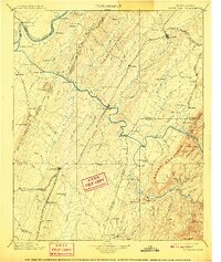
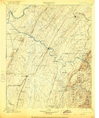
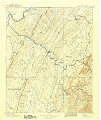
Athens and Cleveland anchor this turn-of-the-century landscape, connected by the bustling Southern R.R. lines that define the industrial corridor of East Tennessee. The region's dependence on river transport and milling is evident in the numerous water-crossings and industrial sites such as Bunker Hill Ferry, Helderbrand Ford, and Chestuee Mills. To the west, the Tennessee River winds past Hiwassee Island, while the eastern portion of the map is dominated by the high elevations of Beans Mountain and the prominent Oswald Dome. This era shows a network of smaller communities like Riceville, Calhoun, and Columbus that served as local agricultural and rail hubs. The intricate drainage of North Mouse Creek and the Ocoee River highlights the complex topography between Mc Minn Ridge and the White Oak Mountain range.
Find a feature on this map
136 named features on this map. Tap any name to fly to it.
Don’t see what you’re looking for? This feature index may not catch every label — zoom into the map to look around manually.
Map Details
Editions of this 1901 Cleveland Map
4 editions found
Other maps of this area

1886 · Dalton
USGS Topo · 1:125,000

1886 · Cleveland
USGS Topo · 1:125,000

1886 · Ringgold
USGS Topo · 1:125,000

1887 · Kingston
USGS Topo · 1:125,000

1888 · Ellijay
USGS Topo · 1:125,000

1888 · Chattanooga
USGS Topo · 1:125,000

1891 · Kingston
USGS Topo · 1:125,000

1892 · Pikeville
USGS Topo · 1:125,000

1892 · Ringgold
USGS Topo · 1:125,000

1892 · Cleveland
USGS Topo · 1:125,000