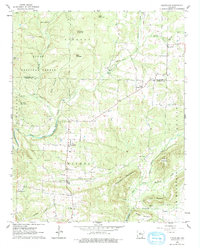
1962 Map of Cleveland
USGS Topo · Published 1978About this map
Cleveland serves as the central hub of this Arkansas landscape, situated where the terrain begins to rise toward the peaks of the Ozark National Forest. The map reveals a deeply established rural network of family burial grounds and country congregations, including Moores Chapel, Liberty Springs Ch, and New Liberty Ch. These landmarks, alongside numerous cemeteries such as Upchurch Cem and Campground Cem, trace the generational settlement patterns of Nichols and Liberty townships.
Find a feature on this map
51 named features on this map. Tap any name to fly to it.
Don’t see what you’re looking for? This feature index may not catch every label — zoom into the map to look around manually.
Map Details
Editions of this 1962 Cleveland Map
2 editions found
Other maps of this area

1879 · Washington
USGS Topo · 1:62,500

1887 · Smyrna
USGS Topo · 1:62,500

1889 · Marshall #3
USGS Topo · 1:62,500

1892 · Marshall
USGS Topo · 1:125,000

1892 · Morrillton
USGS Topo · 1:125,000

1894 · Morrillton
USGS Topo · 1:125,000

1894 · Marshall
USGS Topo · 1:125,000

1901 · Marshall
USGS Topo · 1:125,000

1940 · Smyrna
USGS Topo · 1:62,500
1943 · Smyrna
USGS Topo · 1:62,500