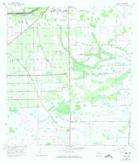
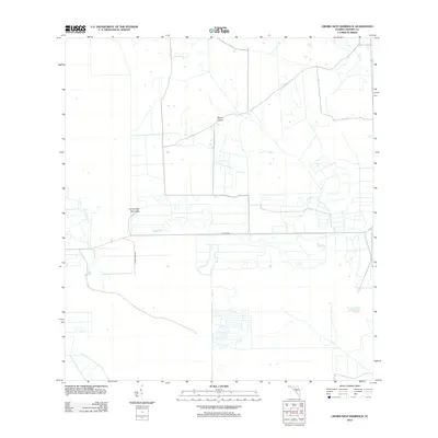
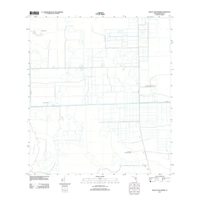
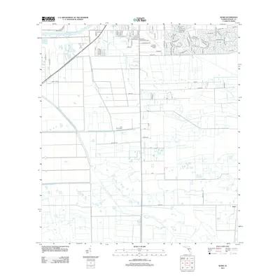
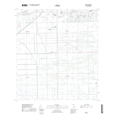
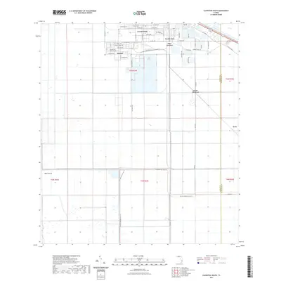
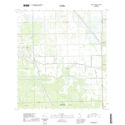
2024 Map of Clewiston South
USGS Topo · Published 2024About this map
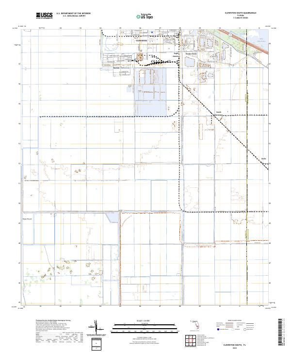
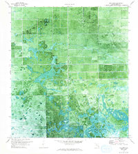
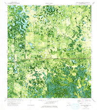
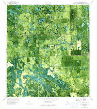
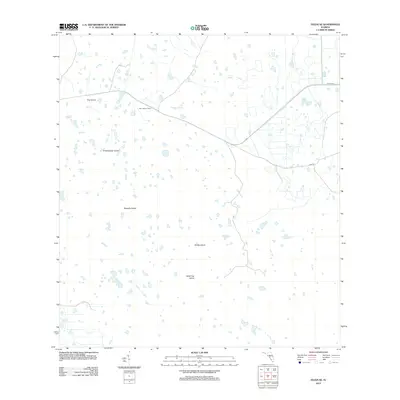
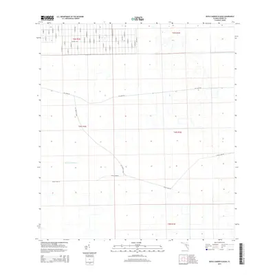
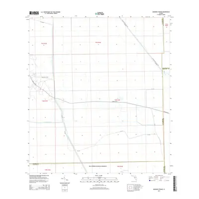
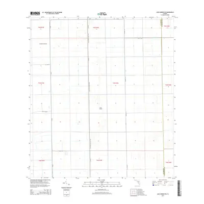
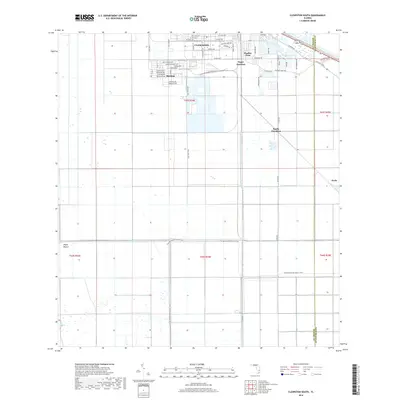
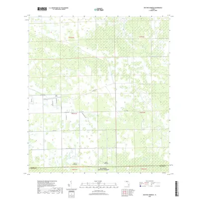
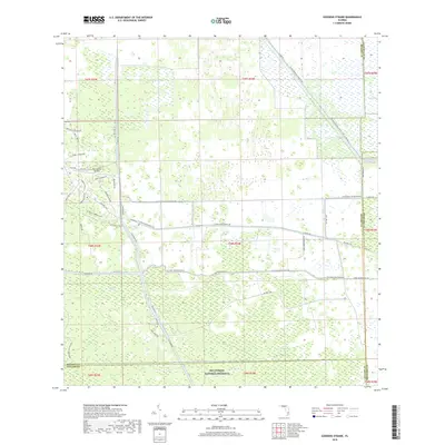
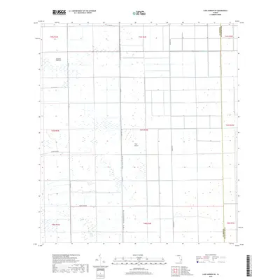
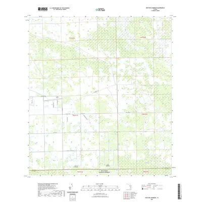
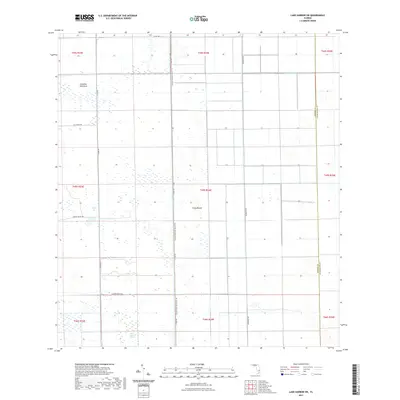
The sugar-driven landscape of southern Florida is clearly defined in this modern survey, where the organized grid of Clewiston meets the industrial and agricultural infrastructure of the Everglades. The map captures the interface between established residential areas like Harlem and the critical transportation hubs of Sugar Junction and Hooker Point. To the north, the massive engineering of the Rim Canal separates the town from the waters of Lake Okeechobee and Coot Bay, illustrating the area's ongoing relationship with water management.
Find a feature on this map
48 named features on this map. Tap any name to fly to it.
Don’t see what you’re looking for? This feature index may not catch every label — zoom into the map to look around manually.
Map Details
Editions of this 2024 Clewiston South Map
This is the sole edition of this map. No revisions or reprints were ever made.
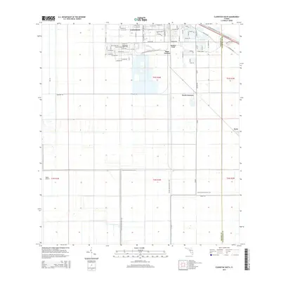
Historical Maps of Clewiston Through Time
98 maps found
1958 Felda
Hendry County, FL
1958 Felda NE
Hendry County, FL
1958 Felda SE
Hendry County, FL
1958 Sears
Hendry County, FL
1970 Clewiston South
Hendry County, FL
1970 Devils Garden Slough
Hendry County, FL
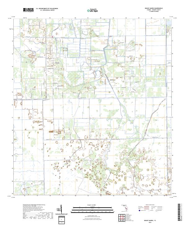
1970 Grassy Marsh
Hendry County, FL
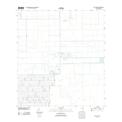
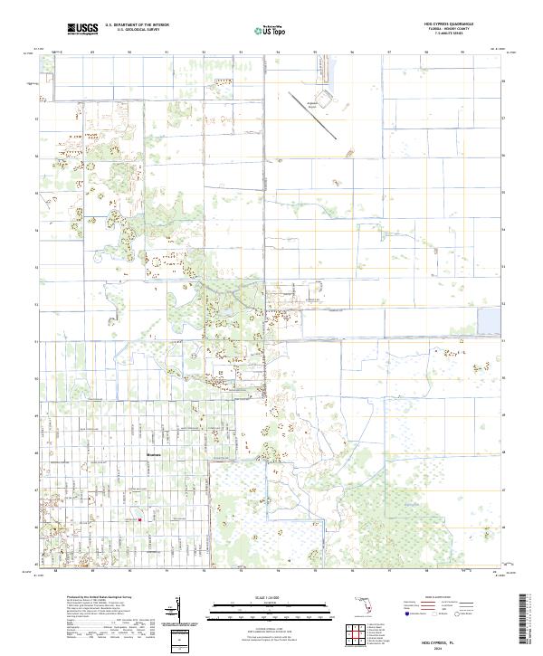
1970 Hog Cypress
Hendry County, FL
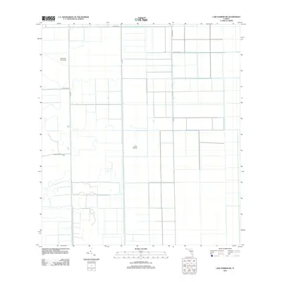
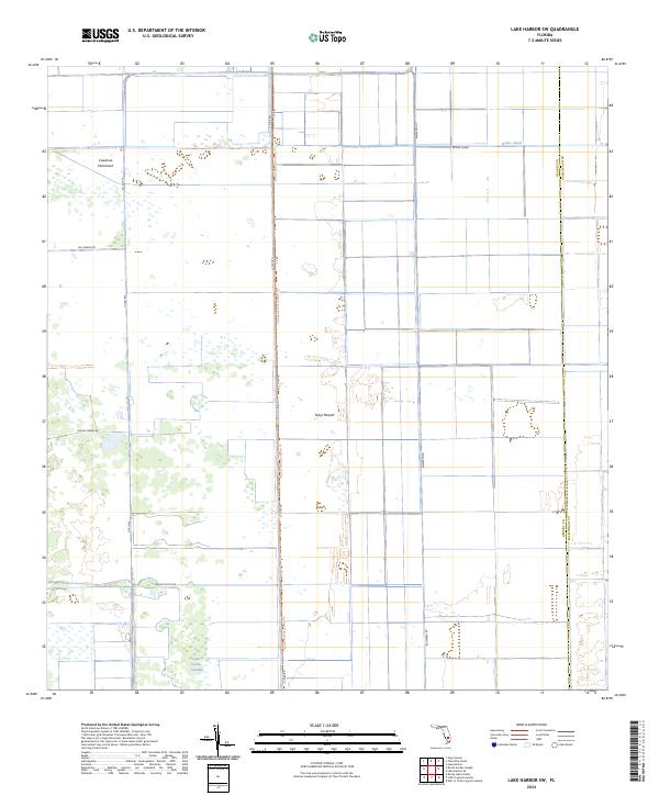
1970 Lake Harbor SW
Hendry County, FL
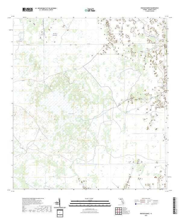
1971 Graham Marsh
Hendry County, FL
1974 Cow Bone Island
Hendry County, FL
1974 Crows Nest Hammock
Hendry County, FL
1974 Doctors Hammock
Hendry County, FL
1974 Goddens Strand
Hendry County, FL
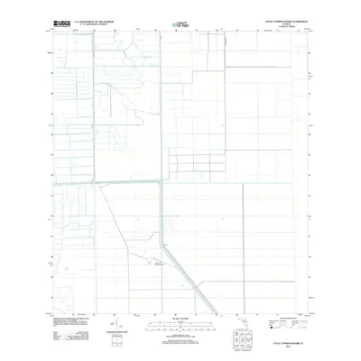
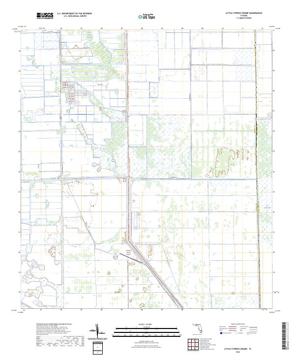
1974 Little Cypress Swamp
Hendry County, FL
1974 Rocky Lake Strand
Hendry County, FL
1994 Lake Harbor SW
Hendry County, FL
2012 Clewiston South
Hendry County, FL
2012 Cow Bone Island
Hendry County, FL
2012 Crows Nest Hammock
Hendry County, FL
2012 Devils Garden Slough
Hendry County, FL

2012 Doctors Hammock
Hendry County, FL
2012 Felda
Hendry County, FL
2012 Felda NE
Hendry County, FL
2012 Felda SE
Hendry County, FL
2012 Goddens Strand
Hendry County, FL
2012 Graham Marsh
Hendry County, FL
2012 Grassy Marsh
Hendry County, FL
2012 Hog Cypress
Hendry County, FL
2012 Lake Harbor SW
Hendry County, FL
2012 Little Cypress Swamp
Hendry County, FL
2012 Rocky Lake Strand
Hendry County, FL
2012 Sears
Hendry County, FL
2015 Clewiston South
Hendry County, FL
2015 Cow Bone Island
Hendry County, FL
2015 Crows Nest Hammock
Hendry County, FL
2015 Devils Garden Slough
Hendry County, FL
2015 Doctors Hammock
Hendry County, FL

2015 Felda
Hendry County, FL
2015 Felda NE
Hendry County, FL
2015 Felda SE
Hendry County, FL
2015 Goddens Strand
Hendry County, FL
2015 Graham Marsh
Hendry County, FL
2015 Grassy Marsh
Hendry County, FL
2015 Hog Cypress
Hendry County, FL
2015 Lake Harbor SW
Hendry County, FL
2015 Little Cypress Swamp
Hendry County, FL
2015 Rocky Lake Strand
Hendry County, FL
2015 Sears
Hendry County, FL
2018 Clewiston South
Hendry County, FL
2018 Cow Bone Island
Hendry County, FL
2018 Crows Nest Hammock
Hendry County, FL
2018 Devils Garden Slough
Hendry County, FL
2018 Doctors Hammock
Hendry County, FL
2018 Felda
Hendry County, FL
2018 Felda NE
Hendry County, FL
2018 Felda SE
Hendry County, FL
2018 Goddens Strand
Hendry County, FL
2018 Graham Marsh
Hendry County, FL
2018 Grassy Marsh
Hendry County, FL
2018 Hog Cypress
Hendry County, FL
2018 Lake Harbor SW
Hendry County, FL
2018 Little Cypress Swamp
Hendry County, FL
2018 Rocky Lake Strand
Hendry County, FL
2018 Sears
Hendry County, FL
2021 Clewiston South
Hendry County, FL
2021 Cow Bone Island
Hendry County, FL
2021 Crows Nest Hammock
Hendry County, FL
2021 Devils Garden Slough
Hendry County, FL
2021 Doctors Hammock
Hendry County, FL
2021 Felda
Hendry County, FL
2021 Felda NE
Hendry County, FL
2021 Felda SE
Hendry County, FL
2021 Goddens Strand
Hendry County, FL
2021 Graham Marsh
Hendry County, FL
2021 Grassy Marsh
Hendry County, FL
2021 Hog Cypress
Hendry County, FL
2021 Lake Harbor SW
Hendry County, FL
2021 Little Cypress Swamp
Hendry County, FL
2021 Rocky Lake Strand
Hendry County, FL
2021 Sears
Hendry County, FL

2023 Sears
Hendry County, FL
2024 Clewiston South
Hendry County, FL
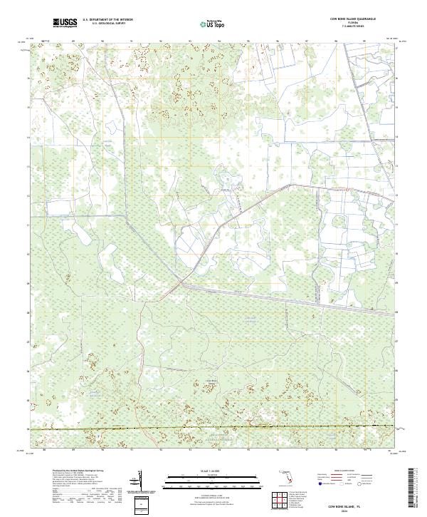
2024 Cow Bone Island
Hendry County, FL
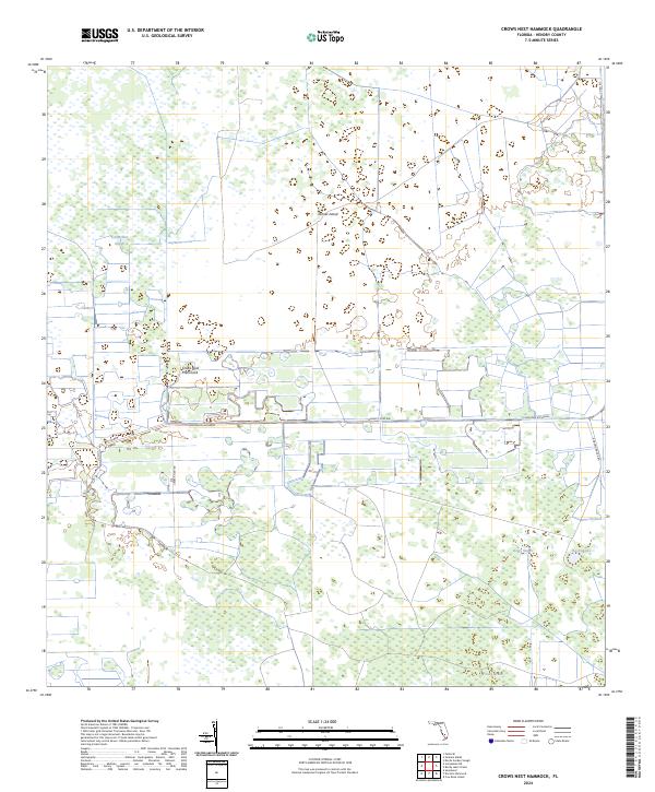
2024 Crows Nest Hammock
Hendry County, FL
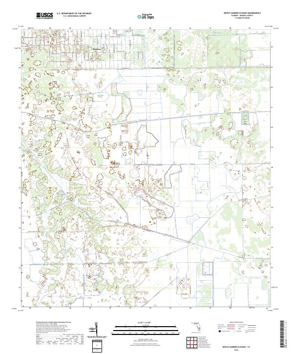
2024 Devils Garden Slough
Hendry County, FL
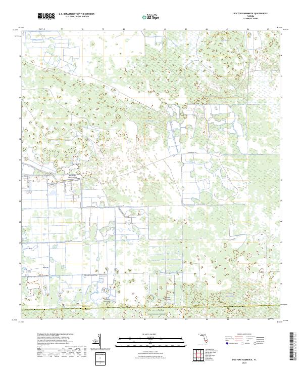
2024 Doctors Hammock
Hendry County, FL
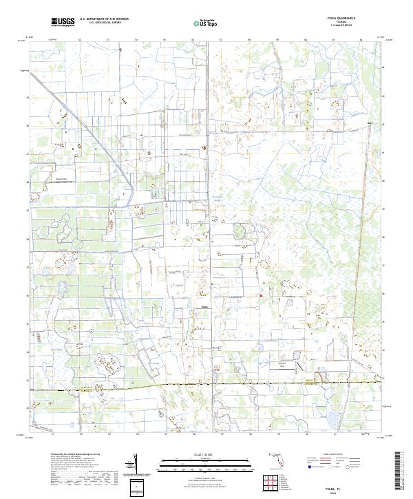
2024 Felda
Hendry County, FL
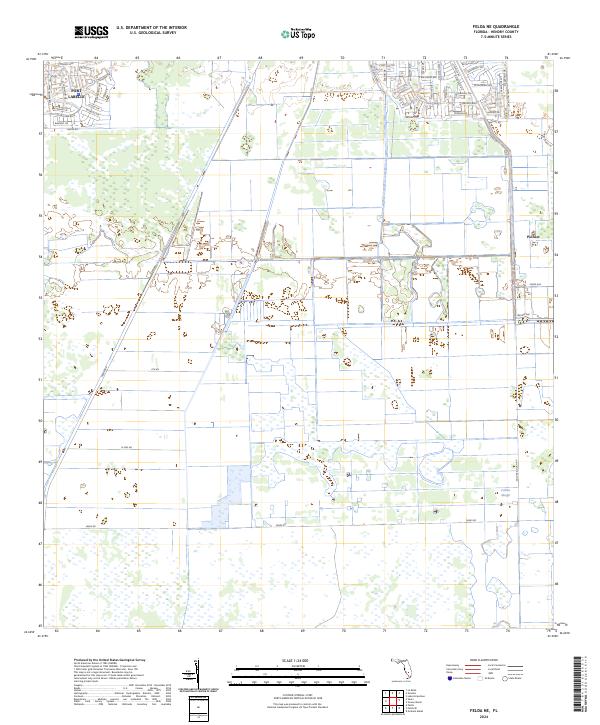
2024 Felda NE
Hendry County, FL
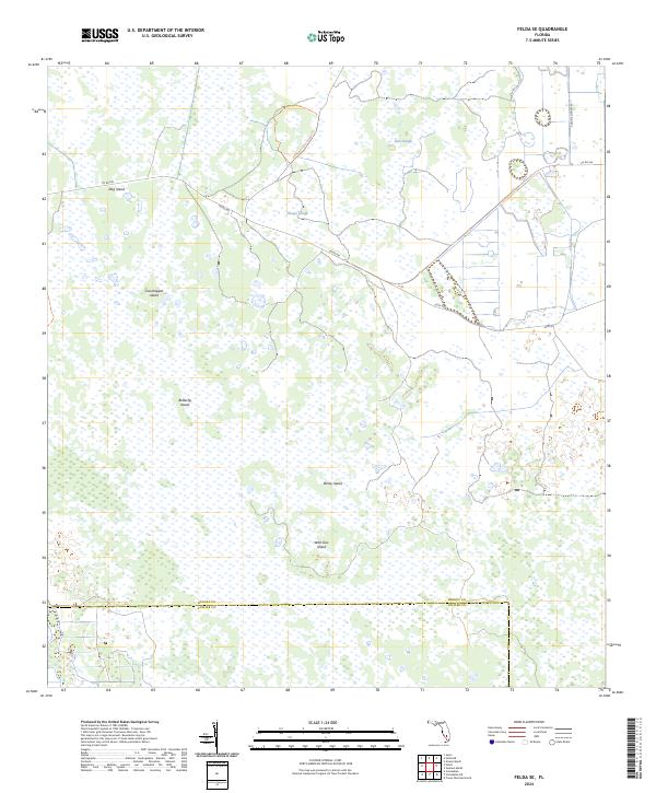
2024 Felda SE
Hendry County, FL
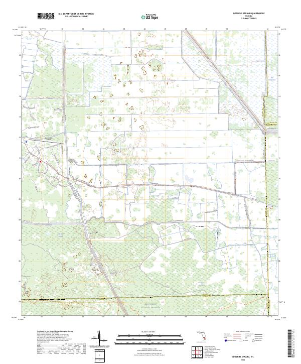
2024 Goddens Strand
Hendry County, FL
2024 Graham Marsh
Hendry County, FL
2024 Grassy Marsh
Hendry County, FL
2024 Hog Cypress
Hendry County, FL
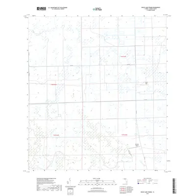
2024 Lake Harbor SW
Hendry County, FL
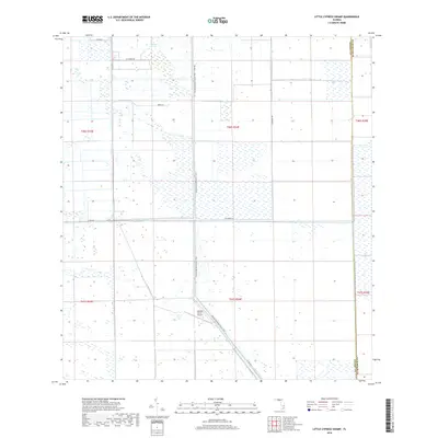
2024 Little Cypress Swamp
Hendry County, FL
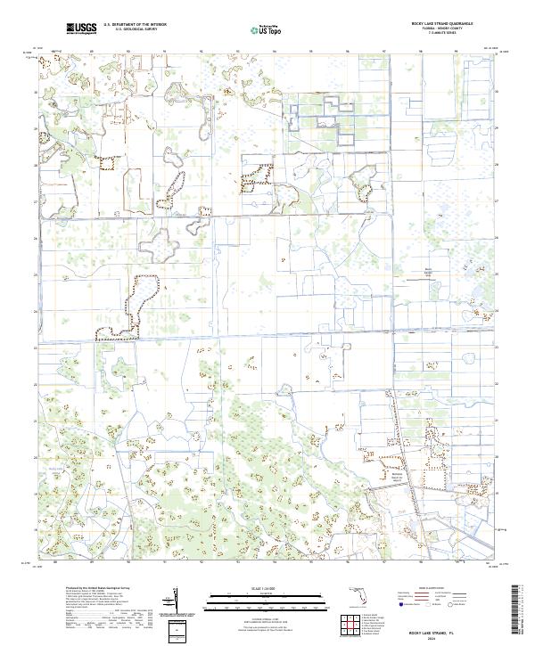
2024 Rocky Lake Strand
Hendry County, FL
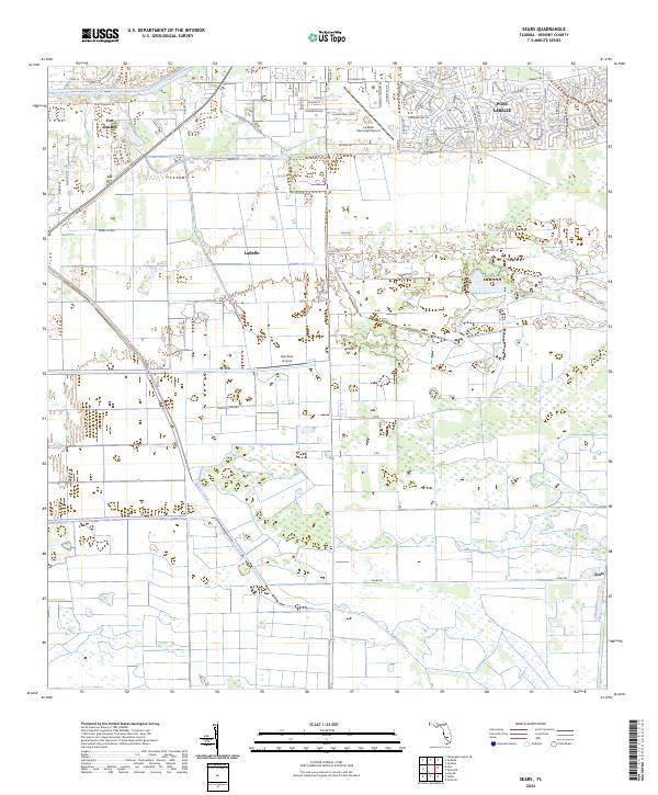
2024 Sears
Hendry County, FL