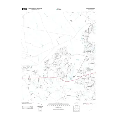
2013 Map of Clifdale
USGS Topo · Published 2013About this map
Bones Ford and the upper reaches of Little Rockfish Cr define this landscape on the western outskirts of Fayetteville. This 2013 survey illustrates the modern transition of the Sandhills region, where traditional watercourses like Bones Cr and Stewart Cr meet an expanding suburban network. The map reveals a high density of residential developments and small reservoirs, including Hutaff Lake, Loraine Lake, and Lake Rim.
Find a feature on this map
311 named features on this map. Tap any name to fly to it.
Don’t see what you’re looking for? This feature index may not catch every label — zoom into the map to look around manually.
Map Details
Editions of this 2013 Clifdale Map
This is the sole edition of this map. No revisions or reprints were ever made.
Other maps of this area

1948 · Fayetteville
USGS Topo · 1:62,500

1948 · Clifdale
USGS Topo · 1:62,500

1948 · Nicholson Creek
USGS Topo · 1:24,000

1948 · Clifdale
USGS Topo · 1:24,000

1950 · Clifdale
USGS Topo · 1:24,000

1950 · Lobelia
USGS Topo · 1:24,000

1950 · Fayetteville
USGS Topo · 1:24,000

1950 · Manchester
USGS Topo · 1:24,000

1950 · Nicholson Creek
USGS Topo · 1:24,000

1951 · Clifdale
USGS Topo · 1:62,500
Featured Places
- Fayetteville, NC
- Bones Ford, NC
- Bluesprings Woods, Fayetteville
- Fort Liberty, NC
- Hickory Grove, Fayetteville