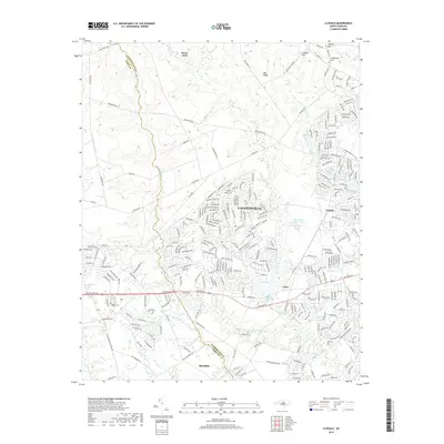
2019 Map of Clifdale
USGS Topo · Published 2019About this map
Fayetteville expands westward in this 2019 survey, showing the dense suburban development reaching toward the Cumberland Co and Hoke Co line. The landscape is defined by its water management and drainage basins, with Lake Rim and the W P Sanders Pond Dam serving as significant hydrological landmarks. Historically significant locations such as the Bones Ford crossing on the northern edge and the Galatia Church to the south anchor the region's long-standing community footprint.
Find a feature on this map
266 named features on this map. Tap any name to fly to it.
Don’t see what you’re looking for? This feature index may not catch every label — zoom into the map to look around manually.
Map Details
Editions of this 2019 Clifdale Map
This is the sole edition of this map. No revisions or reprints were ever made.
Other maps of this area

1948 · Fayetteville
USGS Topo · 1:62,500

1948 · Clifdale
USGS Topo · 1:62,500

1948 · Nicholson Creek
USGS Topo · 1:24,000

1948 · Clifdale
USGS Topo · 1:24,000

1950 · Clifdale
USGS Topo · 1:24,000

1950 · Lobelia
USGS Topo · 1:24,000

1950 · Fayetteville
USGS Topo · 1:24,000

1950 · Manchester
USGS Topo · 1:24,000

1950 · Nicholson Creek
USGS Topo · 1:24,000

1951 · Clifdale
USGS Topo · 1:62,500
Featured Places
- Fayetteville, NC
- Bones Ford, NC
- Bluesprings Woods, Fayetteville
- Fort Liberty, NC
- Hickory Grove, Fayetteville