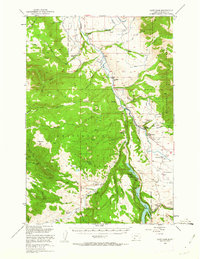
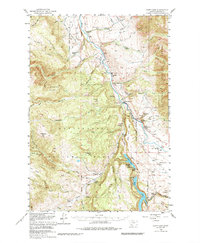
1950 Map of Cliff Lake
USGS Topo · Published 1963About this map
The Madison River carves a deep valley through this high-altitude landscape within the Beaverhead National Forest, creating a series of dramatic benches and basins. This mid-century survey reveals a corridor of remote cattle operations and early tourism, with family-named outposts like Klatt Ranch, Wolf Creek Ranch, and Wickadahl Ranch defining the settlement pattern. The map documents several seasonal livestock camps that were already falling out of use, such as the Miller Cow Camp (Aband) and Shakelford Cow Camp (Aband), reflecting shifts in range management during the post-war era.
Find a feature on this map
78 named features on this map. Tap any name to fly to it.
Don’t see what you’re looking for? This feature index may not catch every label — zoom into the map to look around manually.
Map Details
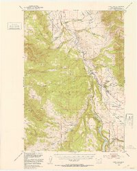
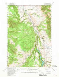
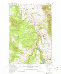
Editions of this 1950 Cliff Lake Map
6 editions found
Other maps of this area

1888 · Three Forks
USGS Topo · 1:250,000

1894 · Three Forks
USGS Topo · 1:250,000

1895 · Three Forks
USGS Topo · 1:250,000

1947 · Bozeman
USGS Topo · 1:250,000

1948 · Bozeman
USGS Topo · 1:250,000

1949 · Varney
USGS Topo · 1:62,500

1950 · Cliff Lake
USGS Topo · 1:62,500

1950 · Hebgen Dam
USGS Topo · 1:62,500

1950 · Cameron
USGS Topo · 1:62,500

1950 · Sphinx Mountain
USGS Topo · 1:62,500