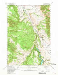
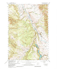
1950 Map of Cliff Lake
USGS Topo · Published 1968About this map
Madison River flows through the heart of the Beaverhead National Forest in this mid-century survey, anchoring a landscape of remote ranches and early sporting lodges. The river corridor is dotted with specialized outposts like the Madison River Lodge and Elliotts Resort, indicating the area's mid-century role as a destination for outdoor recreation and ranching. To the west, the high elevations of Granite Mountain and Flatiron Mountain overlook a series of specialized seasonal camps including the West Fork Cow Camp and several sites marked as abandoned, such as Shakelford Cow Camp. The map provides a look at the backcountry infrastructure of the era, from the USFS West Fork Camp to family-named landmarks like Schusters Place and Grahams Place. The southern reach is dominated by the distinctive blue waters of Cliff Lake and the Wade Lake Camp Grounds, situated near the sprawling Missouri Flats.
Find a feature on this map
71 named features on this map. Tap any name to fly to it.
Don’t see what you’re looking for? This feature index may not catch every label — zoom into the map to look around manually.
Map Details
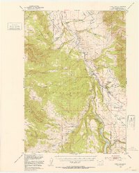
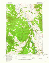
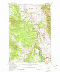
Editions of this 1950 Cliff Lake Map
6 editions found
Other maps of this area

1888 · Three Forks
USGS Topo · 1:250,000

1894 · Three Forks
USGS Topo · 1:250,000

1895 · Three Forks
USGS Topo · 1:250,000

1947 · Bozeman
USGS Topo · 1:250,000

1948 · Bozeman
USGS Topo · 1:250,000

1949 · Varney
USGS Topo · 1:62,500

1950 · Cliff Lake
USGS Topo · 1:62,500

1950 · Hebgen Dam
USGS Topo · 1:62,500

1950 · Cameron
USGS Topo · 1:62,500

1950 · Sphinx Mountain
USGS Topo · 1:62,500