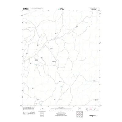
2011 Map of Cliff Rose Hill
USGS Topo · Published 2011About this map
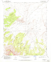
Cliff Rose Hill rises over a landscape defined by an intricate network of washes and named valleys within the Navajo Nation. The industrial footprint of the region is centered on the northern edge of the sheet, where the Peabody Coal Access Rd and Main Rd cut through the terrain toward the coal mining operations of the Black Mesa. This 2011 survey details the essential water resources of the arid high desert, identifying points of interest like Cave Spring, Gambler Lake, and Little Water.
Find a feature on this map
25 named features on this map. Tap any name to fly to it.
Don’t see what you’re looking for? This feature index may not catch every label — zoom into the map to look around manually.
Map Details
Editions of this 2011 Cliff Rose Hill Map
This is the sole edition of this map. No revisions or reprints were ever made.
Other maps of this area

1883 · Marsh Pass
USGS Topo · 1:250,000

1892 · Marsh Pass
USGS Topo · 1:250,000

1956 · Marble Canyon
USGS Topo · 1:250,000

1959 · Marble Canyon
USGS Topo · 1:250,000

1961 · Marble Canyon
USGS Topo · 1:250,000
1968 · Toh Ne Zhonnie Spring
USGS Topo · 1:24,000
1968 · Hole In Rock Valley
USGS Topo · 1:24,000
1968 · Owl Spring
USGS Topo · 1:24,000

1968 · Yucca Hill
USGS Topo · 1:24,000
1968 · Chilchinbito
USGS Topo · 1:24,000