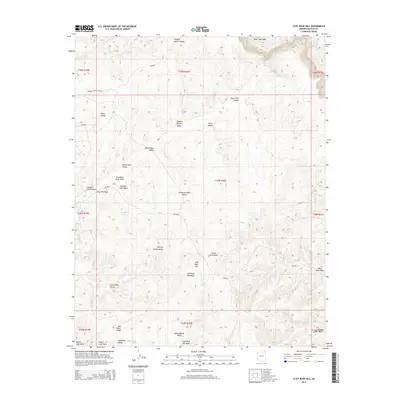
2014 Map of Cliff Rose Hill
USGS Topo · Published 2014About this map
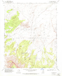
Potato Garden Valley and Dipping Bucket Valley sit at the heart of this high-desert landscape within the Chinle Agency. The map reveals a region defined by seasonal watercourses and distinctive topographical names that reflect local land use, such as Resting Cattle Valley and Crows Nest Valley. Human infrastructure is sparse, concentrated around the Peabody Coal Access Rd and Bia-8034, highlighting the importance of specialized transit routes in this part of Arizona. The presence of Forest Lake and Gambler Lake provide rare hydrologic markers in a terrain dominated by drainage features like Mesa Trail Wash and Yellow Jacket Wash. This 2014 survey documents the enduring spatial arrangement of traditional grazing areas and modern industrial access roads on the Navajo Nation.
Find a feature on this map
39 named features on this map. Tap any name to fly to it.
Don’t see what you’re looking for? This feature index may not catch every label — zoom into the map to look around manually.
Map Details
Editions of this 2014 Cliff Rose Hill Map
This is the sole edition of this map. No revisions or reprints were ever made.
Other maps of this area

1883 · Marsh Pass
USGS Topo · 1:250,000

1892 · Marsh Pass
USGS Topo · 1:250,000

1956 · Marble Canyon
USGS Topo · 1:250,000

1959 · Marble Canyon
USGS Topo · 1:250,000

1961 · Marble Canyon
USGS Topo · 1:250,000
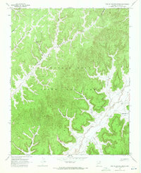
1968 · Toh Ne Zhonnie Spring
USGS Topo · 1:24,000
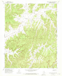
1968 · Hole In Rock Valley
USGS Topo · 1:24,000
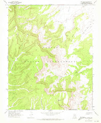
1968 · Owl Spring
USGS Topo · 1:24,000

1968 · Yucca Hill
USGS Topo · 1:24,000
1968 · Chilchinbito
USGS Topo · 1:24,000