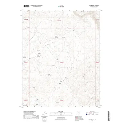
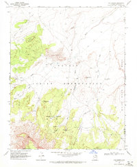
2018 Map of Cliff Rose Hill
USGS Topo · Published 2018About this map
Cliff Rose Hill and the surrounding high desert terrain in the Chinle Agency region are characterized by a dense network of named valleys and seasonal washes. The landscape reflects a long history of traditional land use, evidenced by descriptive labels such as Potato Garden Valley, Resting Cattle Valley, and Dipping Bucket Valley. These names imply a reliance on local topography and water sources, such as Cave Spring and Little Water, for subsistence and livestock. Industrial influence enters the western edge of the quadrangle via the Peabody Coal Access Rd, contrasting with the more traditional routes like Indian Rte 8034. To the south, Forest Lake and the Salt Water Ridge define the transition into different drainage patterns, including the Forest Lake Wash.
Find a feature on this map
37 named features on this map. Tap any name to fly to it.
Don’t see what you’re looking for? This feature index may not catch every label — zoom into the map to look around manually.
Map Details
Editions of this 2018 Cliff Rose Hill Map
This is the sole edition of this map. No revisions or reprints were ever made.
Other maps of this area

1883 · Marsh Pass
USGS Topo · 1:250,000

1892 · Marsh Pass
USGS Topo · 1:250,000

1956 · Marble Canyon
USGS Topo · 1:250,000

1959 · Marble Canyon
USGS Topo · 1:250,000

1961 · Marble Canyon
USGS Topo · 1:250,000
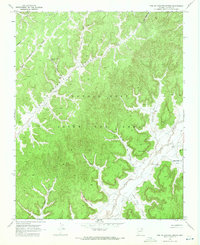
1968 · Toh Ne Zhonnie Spring
USGS Topo · 1:24,000
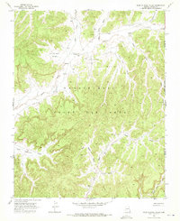
1968 · Hole In Rock Valley
USGS Topo · 1:24,000
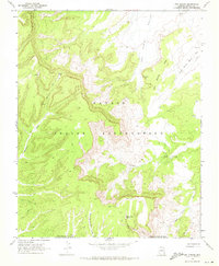
1968 · Owl Spring
USGS Topo · 1:24,000

1968 · Yucca Hill
USGS Topo · 1:24,000
1968 · Chilchinbito
USGS Topo · 1:24,000