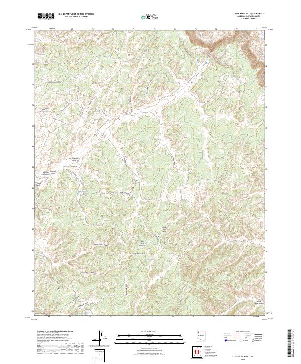
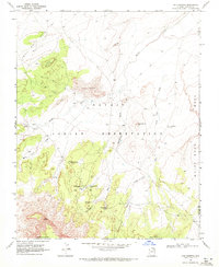
2023 Map of Cliff Rose Hill
USGS Topo · Published 2023About this map
Cliff Rose Hill rises as a prominent landmark in this desert landscape of Navajo County, characterized by a complex network of named valleys and seasonal washes. The terrain reflects traditional land use and natural landmarks, with features such as Potato Garden Valley, Dipping Bucket Valley, and Resting Cattle Valley suggesting historical grazing and localized agriculture. Water is a critical element here, marked by isolated points like Cave Spring and Little Water, along with drainage systems like Gambler Lake Wash and Dinnebito Wash. Local transport and industry are indicated by the Peabody Coal Access RD and Indian Rte 8034, which cross the northern and central sections. To the south, Salt Water Ridge and Salt Water Valley define the topography near Forest Lake, showcasing the intricate system of ridges and basins that dominate this part of the Colorado Plateau.
Find a feature on this map
38 named features on this map. Tap any name to fly to it.
Don’t see what you’re looking for? This feature index may not catch every label — zoom into the map to look around manually.
Map Details
Editions of this 2023 Cliff Rose Hill Map
This is the sole edition of this map. No revisions or reprints were ever made.
Other maps of this area

1883 · Marsh Pass
USGS Topo · 1:250,000

1892 · Marsh Pass
USGS Topo · 1:250,000

1956 · Marble Canyon
USGS Topo · 1:250,000

1959 · Marble Canyon
USGS Topo · 1:250,000

1961 · Marble Canyon
USGS Topo · 1:250,000
1968 · Toh Ne Zhonnie Spring
USGS Topo · 1:24,000
1968 · Hole In Rock Valley
USGS Topo · 1:24,000
1968 · Owl Spring
USGS Topo · 1:24,000

1968 · Yucca Hill
USGS Topo · 1:24,000
1968 · Chilchinbito
USGS Topo · 1:24,000