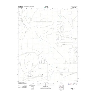
2010 Map of Cliffside
USGS Topo · Published 2010About this map
The Cliffside Gas Field Camp sits in the northwestern corner of this Texas High Plains landscape, a testament to the region's long-standing energy industry. This 2010 survey shows a transition from traditional ranching to modern suburban development, particularly around the community of Bishop Hills and along Tascosa Rd. While newer residential streets like Rapstine Cir and Stonebridge Gate have emerged, the area's agricultural roots remain visible through sites such as Wesley Dairy and the historic Bishop Ranch.
Find a feature on this map
42 named features on this map. Tap any name to fly to it.
Don’t see what you’re looking for? This feature index may not catch every label — zoom into the map to look around manually.
Map Details
Editions of this 2010 Cliffside Map
This is the sole edition of this map. No revisions or reprints were ever made.
Other maps of this area

1934 · Ady
USGS Topo · 1:62,500

1934 · Cliffside
USGS Topo · 1:62,500

1936 · Cliffside
USGS Topo · 1:62,500

1936 · Ady
USGS Topo · 1:62,500

1953 · Chunky
USGS Topo · 1:24,000

1953 · Puente
USGS Topo · 1:24,000

1953 · Pleasant Valley
USGS Topo · 1:24,000

1953 · Cliffside
USGS Topo · 1:24,000

1954 · Tucumcari
USGS Topo · 1:250,000

1954 · Amarillo
USGS Topo · 1:250,000