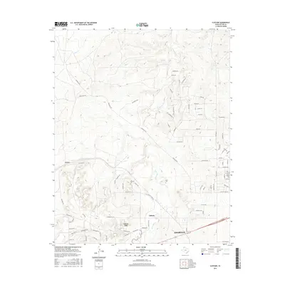
2016 Map of Cliffside
USGS Topo · Published 2016About this map
Bishop Hills and the neighboring community of Cliffside anchor this 2016 study of the Texas Panhandle landscape northwest of Amarillo. The map reveals a transition from organized residential growth near the city to more sprawling ranch lands and dissected terrain. The hydrological network is defined by the winding paths of W Amarillo Cr and Horse Cr, which cut through the high plains.
Find a feature on this map
81 named features on this map. Tap any name to fly to it.
Don’t see what you’re looking for? This feature index may not catch every label — zoom into the map to look around manually.
Map Details
Editions of this 2016 Cliffside Map
This is the sole edition of this map. No revisions or reprints were ever made.
Other maps of this area

1934 · Ady
USGS Topo · 1:62,500

1934 · Cliffside
USGS Topo · 1:62,500

1936 · Cliffside
USGS Topo · 1:62,500

1936 · Ady
USGS Topo · 1:62,500

1953 · Chunky
USGS Topo · 1:24,000

1953 · Puente
USGS Topo · 1:24,000

1953 · Pleasant Valley
USGS Topo · 1:24,000

1953 · Cliffside
USGS Topo · 1:24,000

1954 · Tucumcari
USGS Topo · 1:250,000

1954 · Amarillo
USGS Topo · 1:250,000